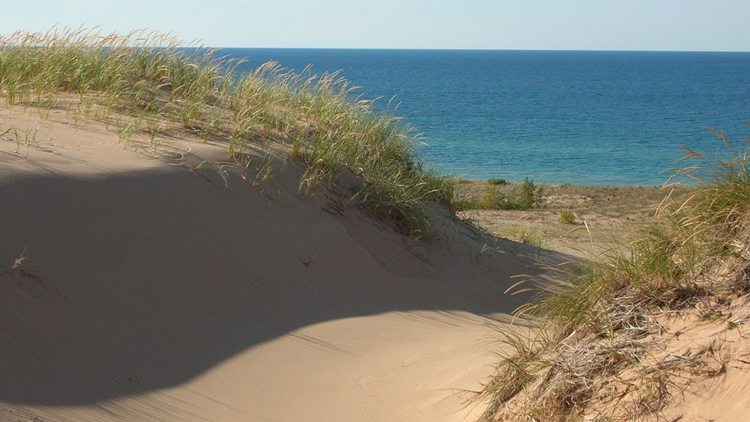
LANSING, Mich. (AP) — Researchers say Michigan may have more than twice as many sand dune acres as previously known.
Alan Arbogast of Michigan State University recently oversaw development of what he calls the most detailed and comprehensive map of the state's dunes, which total 230,000 acres (93,078 hectares).
He tells MLive.com the project mapped previously unrecognized dunes on the west coast of the Lower Peninsula. It also documented dunes on the eastern side of the state along Lake Huron that hadn't been included in previous surveys.
Arbogast is chairman of the university's Department of Geography. His team gathered and analyzed remotely sensed imagery and compared aerial photos, topographic maps and soil data. They verified the findings in the field.
Roughly half of the dune acreage is publicly owned or controlled by a local land conservancy.
►Make it easy to keep up to date with more stories like this. Download the 13 ON YOUR SIDE app now.
Have a news tip? Email news@13onyourside.com, visit our Facebook page or Twitter.


