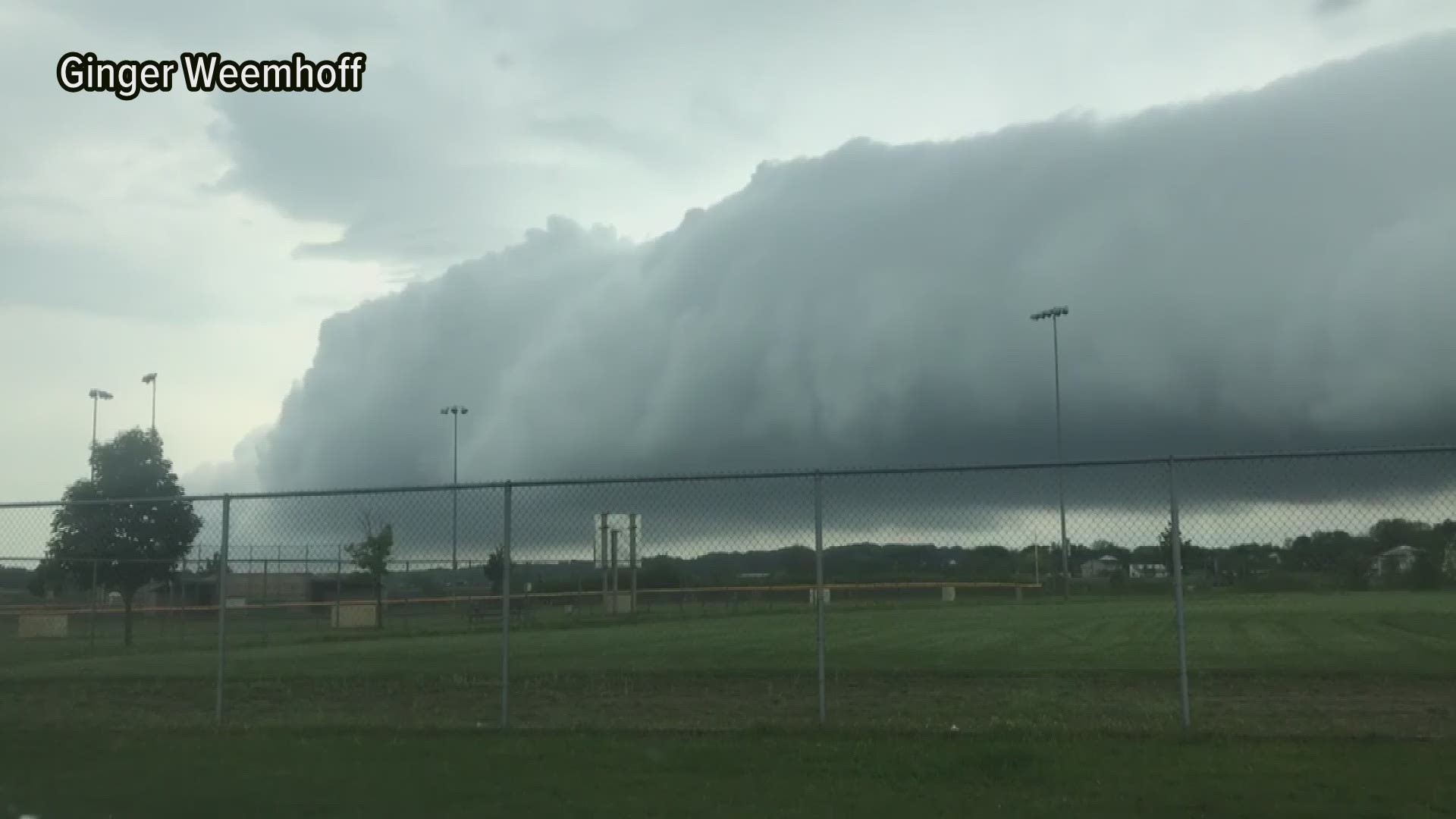
West Michigan was battered by two severe thunderstorms in one day on Saturday, June 1.
The storms were widespread, hitting most of lower West Michigan. However, the National Weather Service said in the morning, Mason and Oceana counties were the targets of the strongest winds. In the afternoon, Battle Creek and Jackson County were hit by large hail.
Sunday, NWS gave an overview of both strong storms and the damage they inflicted on the area.
SATURDAY MORNING | Damaging winds along the lakeshore
Saturday morning, a "decaying line of thunderstorms" moved over Lake Michigan into Mason and Oceana counties, NWS said. The radar did not show anything too concerning, according to the weather service, but they believe winds sloped down a "bubble" of cool air into Ludington. Those winds downed trees and power lines across town.
At one point, most of Ludington was without power because of the storms.

SATURDAY EVENING | Strong winds and large hail
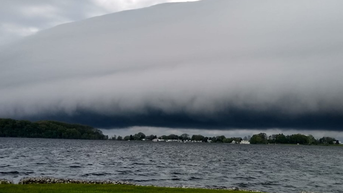
There was a brief respite Saturday afternoon before another strong storm rolled into the area.
In the evening, thunderstorms quickly developed across northern Calhoun and eastern Kalamazoo counties, NWS said. Within only 15 to 20 minutes, the thunderstorms started dropping hail in Battle Creek and Climax that was 2-2.75 inches in diameter.
According to NWS, the storms that developed in this area were supercell thunderstorms, or storms with rotating updrafts.
"Hailstones greater than 2 [inches] in diameter are rare in Michigan, but they are large enough to cause significant damage to property," NWS said. "As a result of the large hail, numerous windows were smashed in cars and homes across Battle Creek and Climax."
The hail that fell in Battle Creek was the largest hail reported in lower West Michigan since July 4, 2012, NWS said.
Large hail hits Battle Creek
The weather service said that supercell storms often produce strong to violent tornado, however the conditions on Saturday were not quite right for tornadoes even though there were reports of funnels in the area.
A line of thunderstorms developed in Wisconsin and "raced" across Lake Michigan Saturday evening. Not many in West Michigan avoided those storms, but the strongest winds hit Allegan and Eaton counties, specifically the cities of Allegan and Hastings, NWS said.
There were reports of downed tree limbs and power outages in that area where winds likely exceeded 60 mph.
Outside of the largest hail and wind damage, pea to penny-sized hail was reported across most of the area.
Power was also knocked out across the state, with thousands of Michiganders losing electricity because of the storms.
Consumers Energy said 37,000 customers were affected because of Saturday's weather, but by Sunday evening only they were still working to restore power to about 6,400 customers.
SATURDAY'S COVERAGE:
RELATED VIDEO:
►Make it easy to keep up to date with more stories like this. Download the 13 ON YOUR SIDE app now.
Have a news tip? Email news@13onyourside.com, visit our Facebook page or Twitter.


