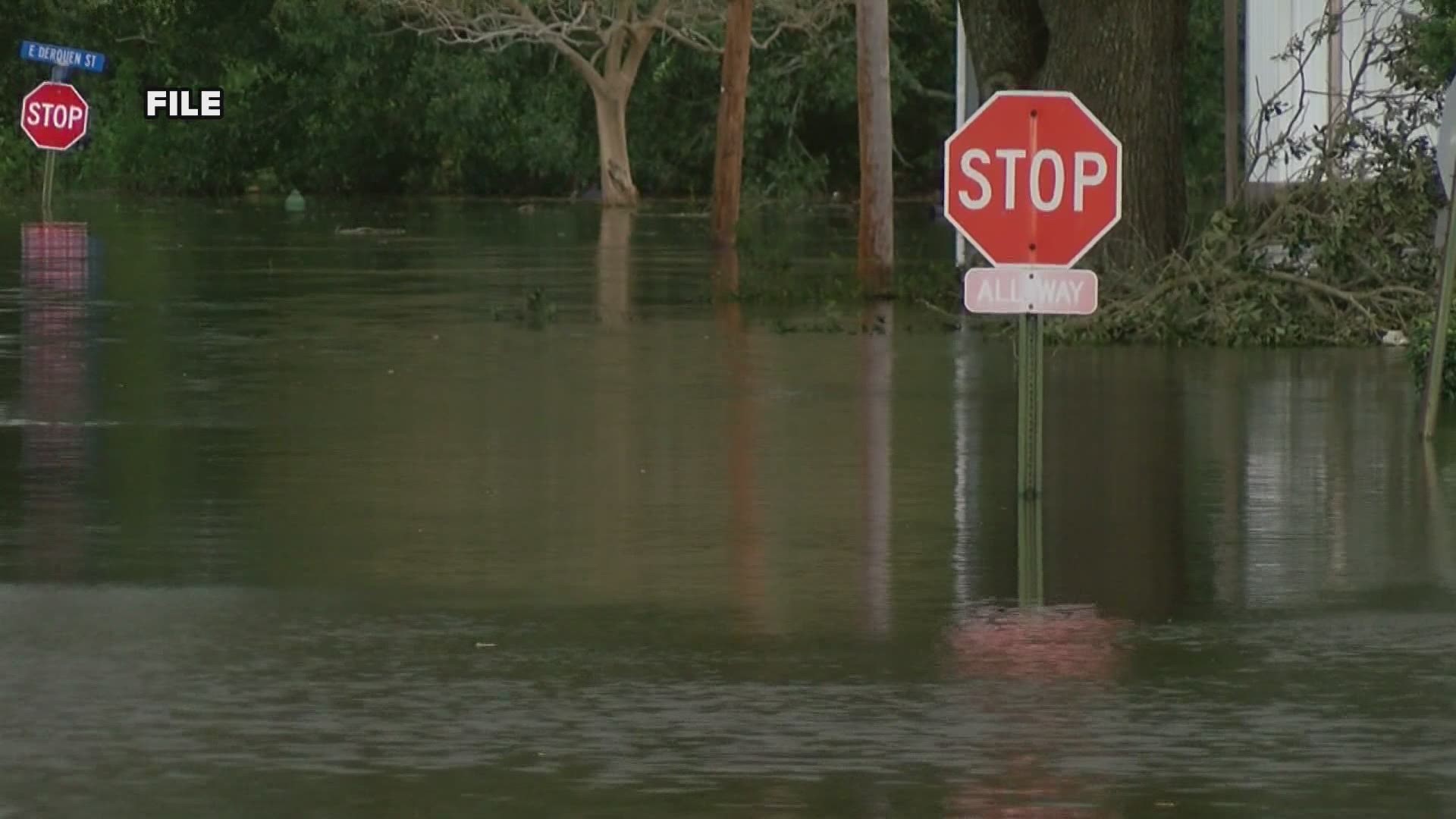
GRAND RAPIDS, Mich. — We are expecting several rounds of thunderstorms over the next few days.
Andrew Dixon, a hydrologist with the National Weather Service in Grand Rapids, says this does mean flooding concerns. Low lying areas are prone to flooding anytime we get a lot of water in a short amount of time which can be a hazard to drivers.
“We are expecting that there will be locations that happen to get the multiple thunderstorms, that will end up with flooding like that. We can’t say exactly where that will be but we do know it’s more likely to occur in urban areas where there’s less pavement and less ability for the water to soak in," Dixon said.
Dixon says that’s just one of the risks they’ll be monitoring during this event.
The second is the rivers.
He says since up until recently we have been under drought conditions and well below the rainfall totals typical by this time of year.
Dixon says with the river levels so low it should be able to handle the slug of water we’re going to see. He says water levels will rise but shouldn’t overflow too much.
Meanwhile, farmers who have been hurting for more rain are finally getting their wish.
“I think there is generally going to be good feelings that we’re going to get some rain but hopefully, we can spread it out enough so that we don’t cause any damage with a field at one time," Dixon said.
He did want to warn people living near rivers that if they have anything outside that needs to be tied down or moved to higher ground now is a good time to do it.
If you happen to be driving out in these conditions this weekend and you do see flooded roads, as the saying goes, turn around, don’t drown.
►Make it easy to keep up to date with more stories like this. Download the 13 ON YOUR SIDE app now.
Have a news tip? Email news@13onyourside.com, visit our Facebook page or Twitter. Subscribe to our YouTube channel.

