GRAND RAPIDS, Mich — A section of the Grand River running through West Michigan received a water trail designation by the Michigan Department of Natural Resources (DNR) Wednesday.
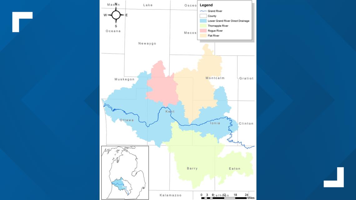
This stretch of the river—known as the Lower Grand River—runs from Portland to Grand Haven and it is the final portion of the Grand River to receive the designation.
The DNR defines a water trail as "A designated route on a navigable waterway such as a lake, river, canal or bay, that is designed and managed to create a positive outdoor recreation experience for the user."
The Lower Grand River joins nine other state-designated water trails to expand the water trail network to over 700 miles of waterways.
The water trail designation will allow for new funding opportunities from the government to enhance access and amenities along the banks of the river.
The Lower Grand River Organization of Watersheds (LGROW) worked for years to get the designation from the DNR. LGROW operates as part of the Grand Valley Metropolitan Council (GVMC).
“We want to thank our many partners, funders, supporters, and river access owners in this years-long effort to obtain water trail designation status,” said Cara Decker, Director of Environmental Programs at LGROW. “This designation would not have been possible without their efforts and the guidance of the National Park Service’s Rivers, Trails, and Conservation Assistance program.”
The Grand River's 252 miles of waterway now makeup the largest contiguous water trail in the state.
The Lower Grand River's 96-mile water trail has 35 public access points for paddlers and boaters that you can find here.


You can learn more about Michigan's designated water trails by visiting the Michigan DNR's water trails website.


