MICHIGAN, USA — Old Man Winter made sure to make its presence felt to wrap up the week! Widespread snow overnight Thursday into early Friday led to slick travel, numerous school closings, and another round of shoveling.
Snow arrived late Thursday evening, and became widespread throughout the overnight hours, before tapering off by the end of the morning hours Friday.


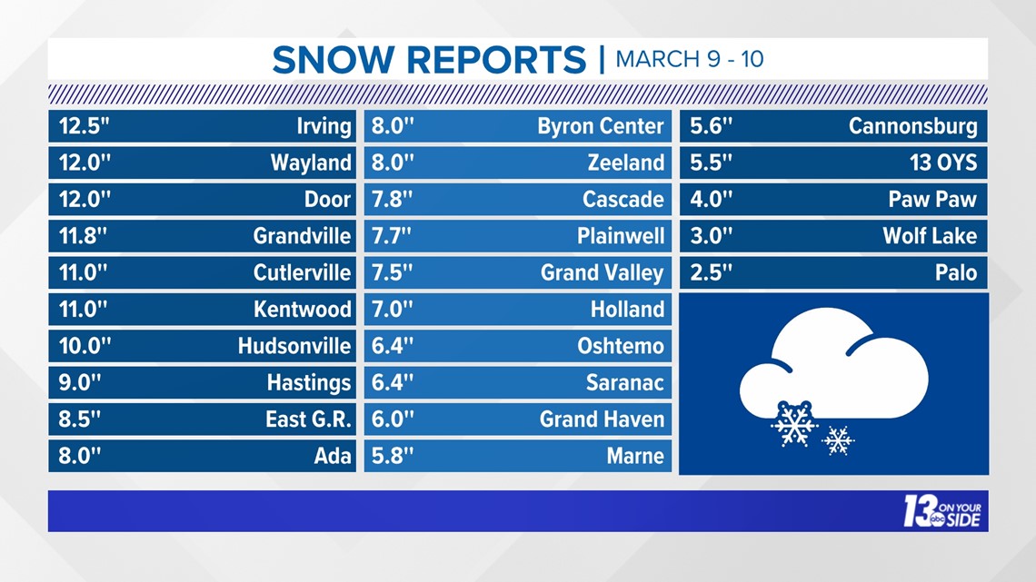
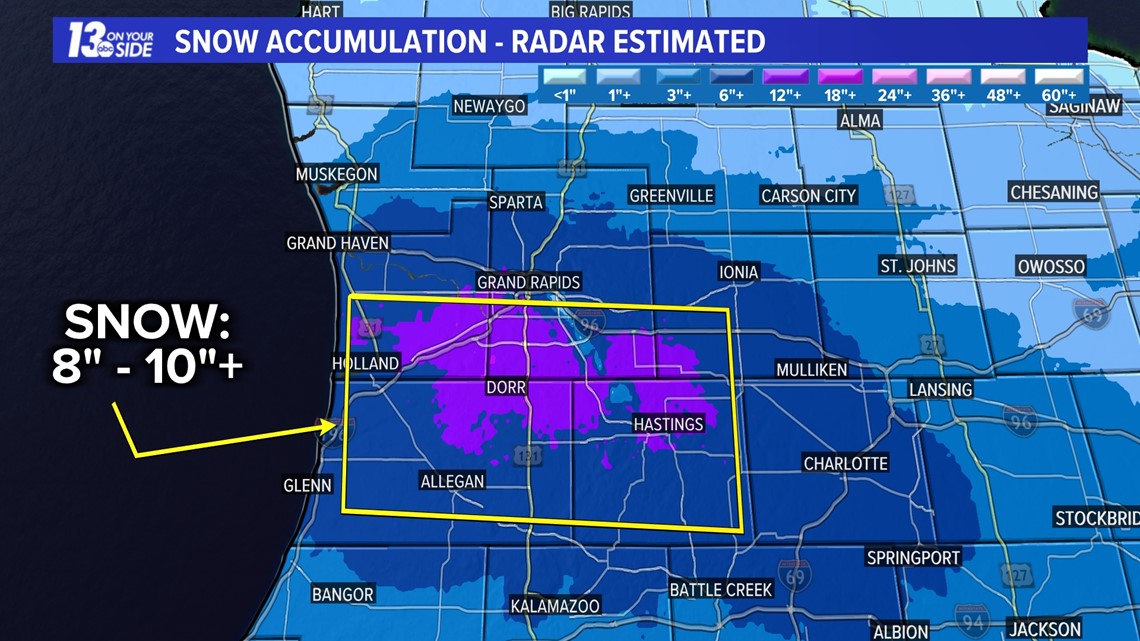
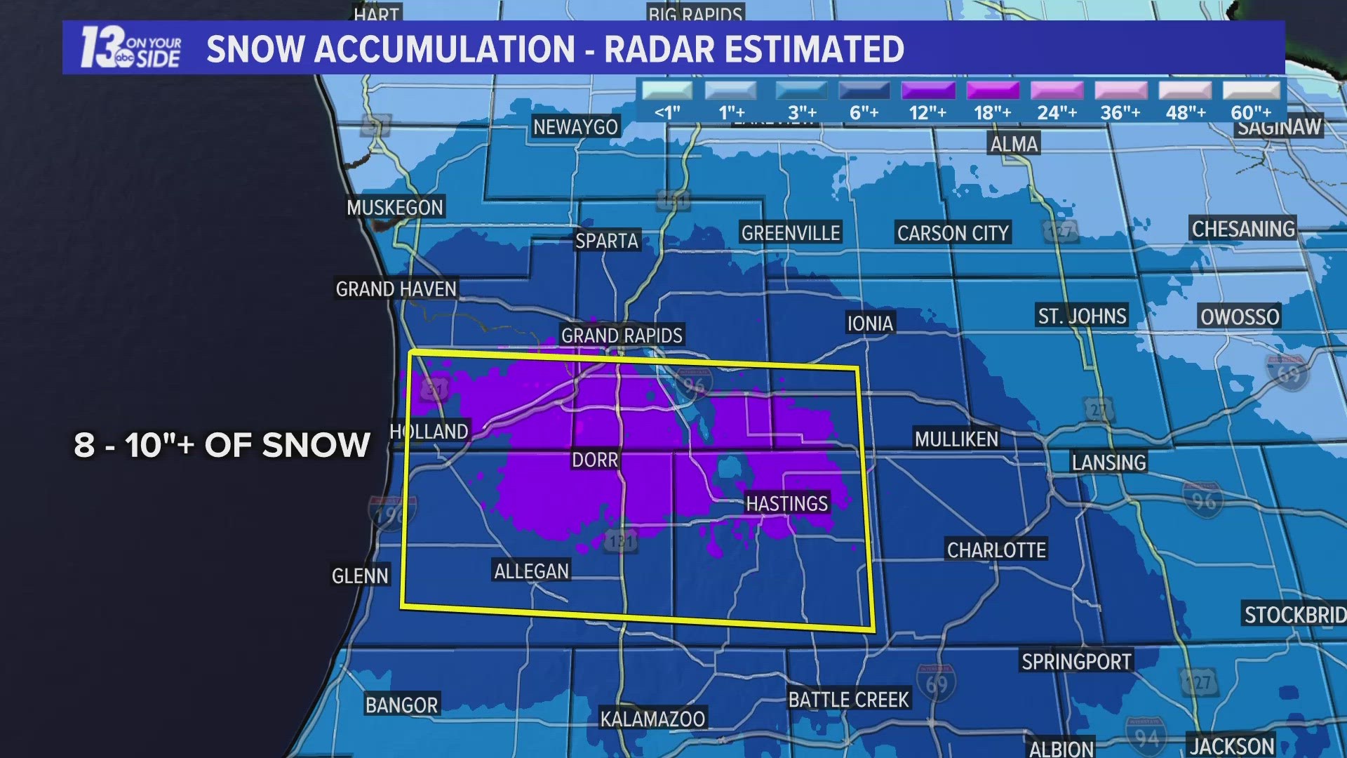
‘Bullseye’ of this storm system was across the southern half of Kent and Ottawa counties, extending into a majority of Allegan and Barry counties. In this zone, 8-10”+ of snow fell, with isolated locations receiving a foot of snow!
Snow totals dwindled northward of M-46, with only light snow amounts near US-10.


One last note – the seasonal snow total at the National Weather Service Grand Rapids office has now eclipsed 100”. The last time this occurred was the infamous 2013-2014 season, where 116” of snow was recorded at the Grand Rapids observation site – which is located at the G.R.R. airport.
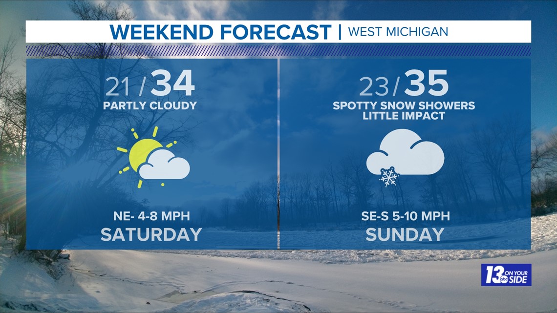
Quiet conditions return for the first half of the weekend before light snow arrives for the backend. Accumulation, and impacts, appear minimal with the snow chance on Sunday.


Keep up with the 13 ON YOUR SIDE weather team for the latest forecast and information!
►Make it easy to keep up to date with more stories like this. Download the 13 ON YOUR SIDE app now.
Have a news tip? Email news@13onyourside.com, visit our Facebook page or Twitter. Subscribe to our YouTube channel.

