GRAND RAPIDS, Mich. — A major winter storm is on West Michigan’s doorstep, with significant ice and snow expected Wednesday into early Thursday. The combination of messy winter precipitation and strong winds will lead to treacherous travel and the opportunity for widespread power outages.
ALERTS
Ice Storm Warnings and Winter Storm Warnings were issued Tuesday afternoon, upgraded from the Winter Storm Watch. All alerts kick off at 10 a.m. Wednesday and last through early Thursday morning.
This is the first time an Ice Storm Warning has been issued across a portion of West Michigan since December 2013, over 3,000 days ago.
Despite various warnings, impacts will be felt on a widespread note. The only difference between the Winter Storm Warning and Ice Storm Warning is the prominent type of precipitation that is expected.
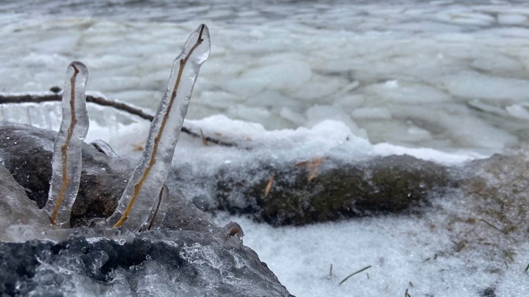
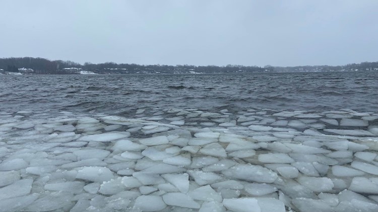
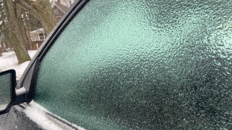
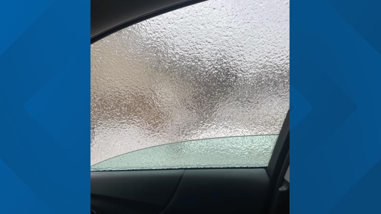
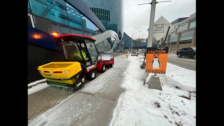
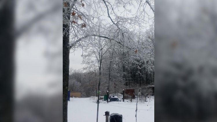
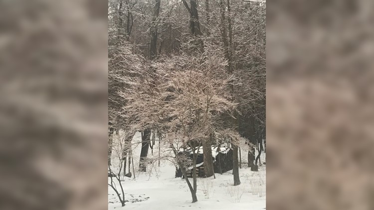
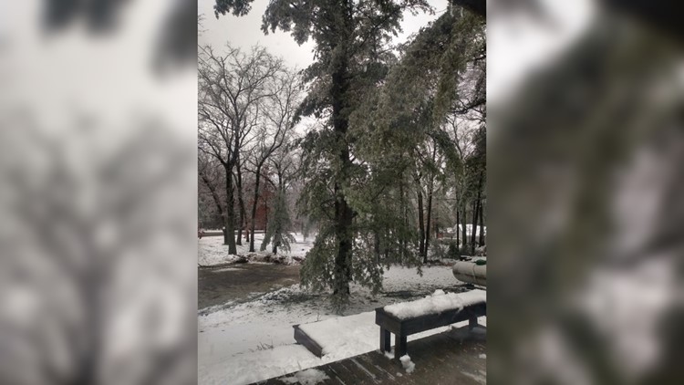
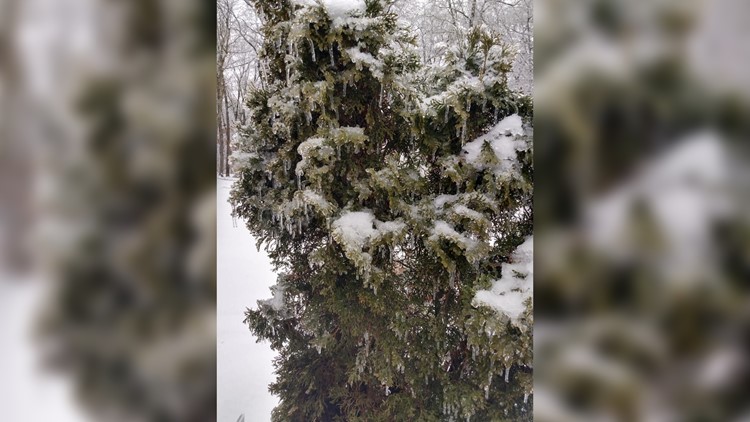
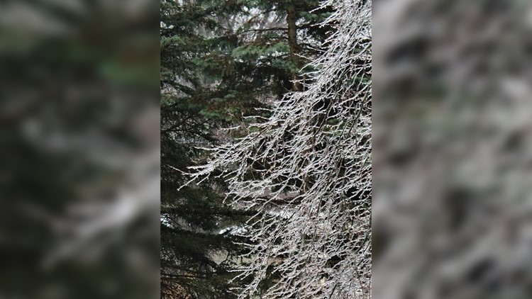
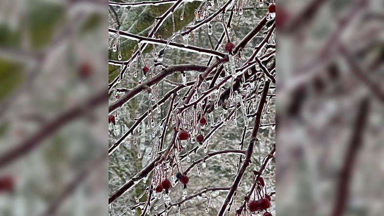
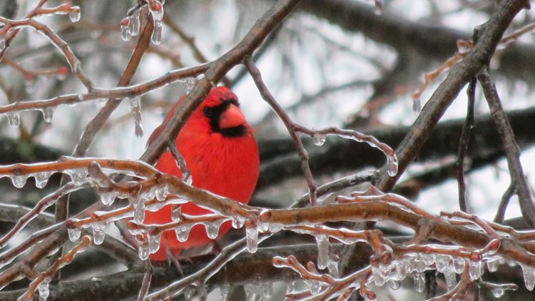
Ice coats cars, trees and more
TRACKING, TIMELINE, & IMPACTS
The track and area extent of winter precipitation has varied little in the past five days, leading to high confidence in when and where the ice and snow is likely. Minor shifts in types of precipitation, how much and where it will accumulate are expected to occur throughout the event. Some areas may occasionally see more freezing rain and sleet, rather than snow and vice versa.

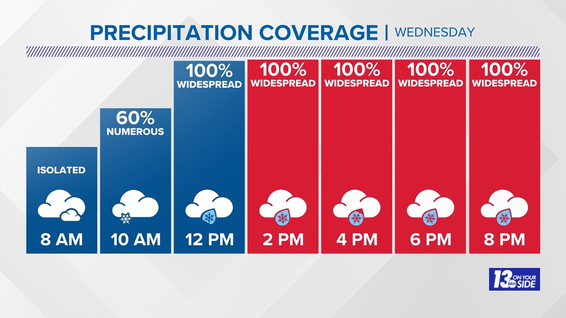
The one tweak to the forecast is the start of precipitation across West Michigan. Mixed precipitation is expected to arrive by mid to late morning in a south-to-north fashion – I-94 first, US-10 last. Precipitation will intensify throughout the afternoon, leading to difficult travel for the Wednesday evening commute. The duration of the heaviest precipitation will be around 12 to 15 hours, tapering off in the early hours before sunrise Thursday.
Impacts include treacherous travel conditions throughout the second half of Wednesday into the morning hours of Thursday. Any plans you may have in this timeframe should be reassessed for another time. Power outages are a concern as well, especially with the combination of ice and wind.
Like any significant weather event, it’s all about being smart and prepared rather than being panicked and unprepared. Having flashlights and extra batteries, an emergency kit, and charging electronic devices beforehand are all simple tips to be prepared.
ICE AMOUNTS
The highest concern of this winter storm is the expected ice accumulation and the resultant impacts that follow.
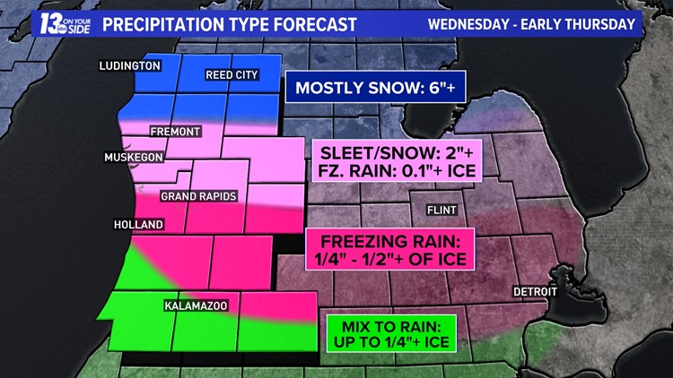
Areas between I-96 and I-94 have the highest probability to contend with significant icing via freezing rain. Ice accumulation of ¼” – ½”+ is expected in this zone – cities include Grand Rapids, Hastings, and Battle Creek.
One question mark is how far north above-freezing temperatures can reach, allowing for a switchover to rain. Those along I-94 – South Haven to Kalamazoo, even extending into western Allegan Co. – have a better probability to switch to rain periodically, which would be helpful from an impact standpoint. As a result, we expect the southwestern corner of the 13 ON YOUR SIDE viewing area to see less ice, upwards to ¼”.

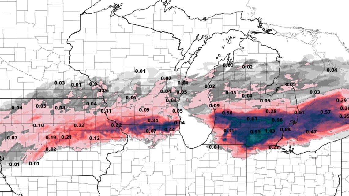
Further north of I-96, less freezing rain and more sleet and snow is expected. However, upwards of ¼” of ice is possible to the M-46 corridor (Muskegon to Cedar Springs). Towards US-10, mostly snow and sleet is expected, with a lesser threat of freezing rain.
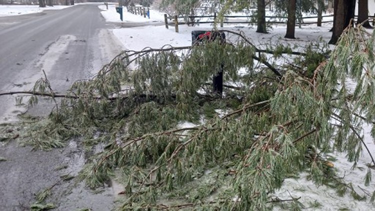
Visualizing amounts, ice accumulation near a quarter inch becomes problematic. This is when cars become coated in ice, and it becomes very difficult to stop on roads and bridges, and power begins to fail. Ice becomes crippling anytime a half inch or more is reached. This amount of ice can cause widespread power outages for numerous days, tree damage, and extremely dangerous travel.
SNOW AMOUNTS
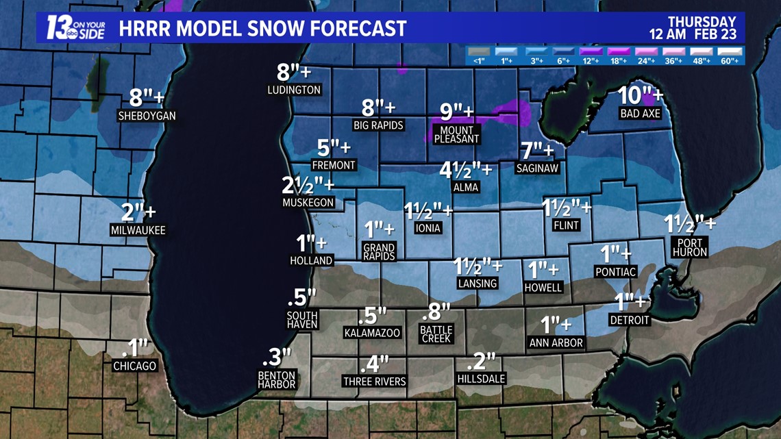
Snow is mostly expected closer to US-10 – Ludington to Big Rapids – as the colder air remains entrained throughout the entire storm. Accumulation of 6”+ is expected across the northern communities of the 13 ON YOUR SIDE viewing area, with some sleet accumulation possible.
Further south, closer to I-96, minor snow accumulation is expected on the order of a couple of inches. With the anticipated freezing rain and sleet expected to mix in, snow accumulations will be much less as one travels southward across West Michigan.

STRONG WINDS
Strong winds to 40+ mph could lead to power outages, especially where ice accumulates the heaviest on power lines and tree limbs. Winds will be E-NE on Wednesday, shift to the W-SW Thursday morning, then to the NW by the end of Thursday into Friday.
REST OF WEEK
Precipitation will wane on Thursday, along with temperatures briefly warming above freezing. This’ll help to limit any further impacts felt on Wednesday, in terms of travel conditions and power outages. However, temperatures will plummet below freezing overnight Thursday into Friday, allowing for a flash freeze to occur – meaning any precipitation that hasn’t melted will be frozen in place until above-freezing temperatures slowly return over the weekend. This will lengthen the recovery time by hours, even days.
The weekend is expected to be mostly sunny and dry with temperatures climbing into the mid to upper 30s.
Be safe out there and continue to watch the 13 ON YOUR SIDE Weather Team for updates throughout this high-impact winter storm.
Stay up-to-date on the latest forecast models and weather warnings by following 13 ON YOUR SIDE on Facebook, subscribing to our YouTube channel, downloading our weather app (available to download for free in the App Store or Google Play Store) and streaming us live on 13+, available for free download on Roku and FireTV.
►Make it easy to keep up to date with more stories like this. Download the 13 ON YOUR SIDE app now.
Have a news tip? Email news@13onyourside.com, visit our Facebook page or Twitter. Subscribe to our YouTube channel.


