MICHIGAN, USA — Changes in the forecast are coming soon—ideal August weather will become unsettled by the end of the week, possibly lingering into this upcoming weekend.
PLEASANT THROUGH MIDWEEK
Sprawling high pressure has settled into the Great Lakes region, bringing a predominantly dry and seasonable airmass across West Michigan. High pressure will build Tuesday into Wednesday, which will continue the tranquil conditions, before progressing eastward by Thursday.


Plan on a fair amount of sunshine, especially closer to the lakeshore as the influence of the lake breeze limits any cloud development. Inland, expect a partly cloudy sky as daytime heating/instability bubbles up a fair-weather cloud deck, primarily in the afternoon and early evening hours.
Temperatures will be close to average for the middle of August, with daytime highs reaching the lower 80s and nighttime lows in the upper 50s. More importantly this time of year, the humidity will remain manageable, with a comfortable feel outside.


RAIN THURSDAY; UNSETTLED INTO THE WEEKEND
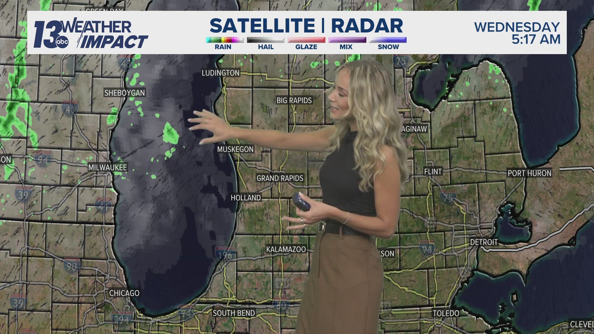
Our next weather-maker will be a low-pressure system, which’ll knock on the doorstep come Thursday. Confidence of rain on Thursday continues to increase as model guidance has sped up the incoming system, along with remaining consistent in its direction.
Rain will spread across West Michigan in a southwest to northeast fashion by the afternoon Thursday, remaining widespread into the night, then tapering off by daybreak Friday. There is the potential of thunderstorms, but severe weather appears limited.
Rainfall in excess of 1” is increasing in confidence, with the potential of 2”+ in isolated locations. There is a Marginal Risk of excessive rainfall in the Thursday night to Friday morning timeframe, meaning low-lying/poor drainage areas could contend with ponding/brief flooding.


Despite widespread rainfall exiting by early Friday, the Great Lakes will still be under the influence of the above-mentioned low-pressure system into the weekend. The pattern of the upper-air atmosphere across the United States will slow down, in large part due to the likelihood of tropical system Ernesto, which will trek northward across the western Atlantic this weekend.


This will allow intermittent chances of rain and thunder both Saturday and Sunday, but no all-day washout. The opportunity of wet weather will be greatest during the afternoon to early evening, matching up with the peak instability of the day. Temperatures will be slightly cooler – daytime highs in the upper 70s – but the increased moisture will bring a muggier feel.
Tranquil conditions will be commonplace by early next week as high pressure returns to West Michigan.


NORTHERN LIGHTS:
It was another fantastic showing of the Northern Lights overnight Sunday into early Monday, with all of West Michigan able to enjoy. With the sun near Solar Maximum of its current solar cycle, there will be additional opportunities of the Northern Lights being vibrant across West Michigan the rest of the year into 2025.


Have a 30-second video or photo to share? We'd love to share it with everyone! Share your images by texting your name and location to 616.559.1310 or email to Weather@13OnYourSide.com or post it to our 13OnYourSide Facebook Page
►Make it easy to keep up to date with more stories like this. Download the 13 ON YOUR SIDE app now.
Have a news tip? Email news@13onyourside.com, visit our Facebook page or X/Twitter. Subscribe to our YouTube channel.