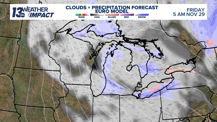
GRAND RAPIDS, Mich. — Thanksgiving week features rounds of unsettled weather, most of which will have low impact at the start of the week. However, that won’t necessarily be the case for everyone as we head into the weekend. The weather pattern is shaping up for multiple days of lake-effect snow, beginning Thanksgiving night and continuing through Sunday. While it’s still early, the setup appears likely to bring impactful winter weather starting on Black Friday.
WHAT
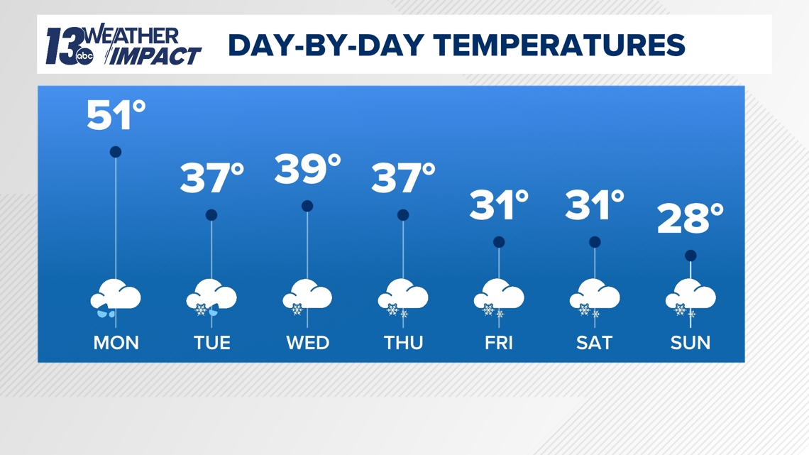
Temperatures will take a tumble tomorrow and continue to fall into Thanksgiving weekend. Breezy northwesterly winds will keep us in the upper 30s on Tuesday, and we will only make it into the upper 20s by Sunday. This cold air, combined with our atmospheric setup, will fire up the lake effect snow machine starting Thanksgiving night, and it will likely continue through Sunday.

While we are still several days out and even have a weaker system to pass through Wednesday night into Thursday, Friday does appear to provide enough evidence for a 13 Weather Impact Alert. For now, this alert serves as a heads-up, with many details still to be determined. One thing that does seem likely is that winds will come from the W-NW. A W-NW wind setup would result in the highest snowfall totals and impacts in Kent, Ottawa, Allegan, Barry, Van Buren, and Kalamazoo counties, with the lakeshore counties getting the brunt of the snow.

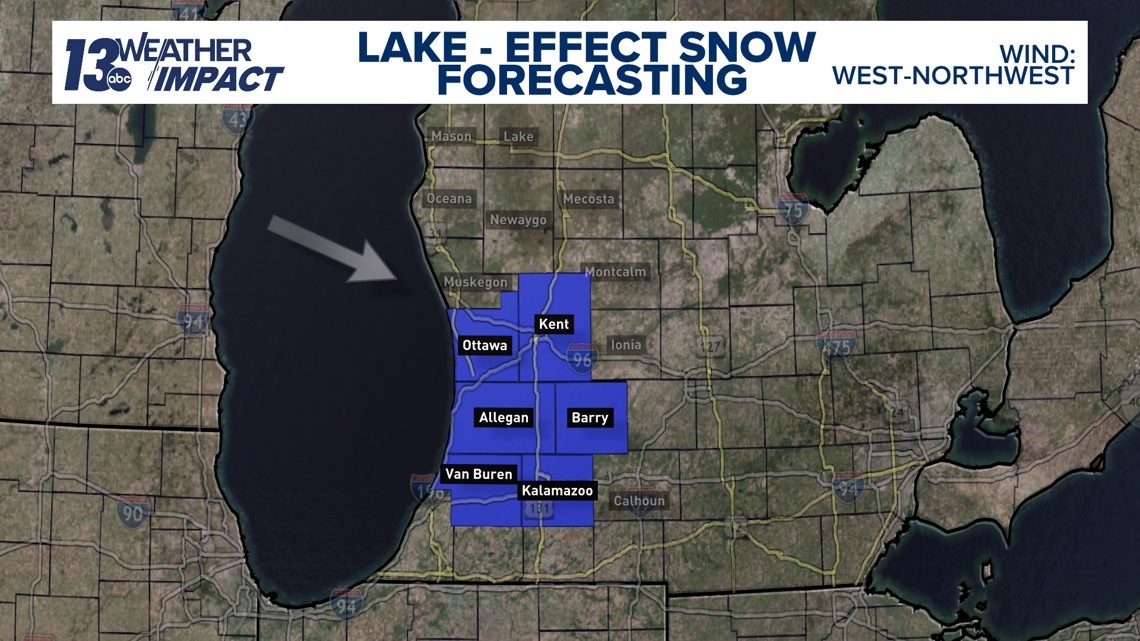
This could change heading into the weekend, but for now, Friday supports this setup.
IMPACT
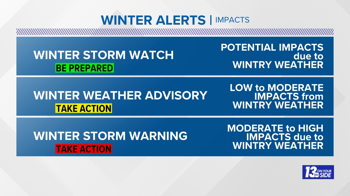
Impacts are still a bit uncertain until we can get a better handle on snowfall totals. This typically happens about 24 to 48 hours before a lake-effect event, as it’s such a small-scale feature that requires our high-resolution models to fine-tune snowfall totals. Right now, it’s safe to say the counties mentioned above will be close to, if not within, Winter Weather Advisory criteria.

NEED
The biggest thing you need to know right now is to continue to check in throughout the week for updates and make sure you are ready for some cold and snow. For now, though, we need to continue to monitor the atmosphere setup and will bring you a more detailed forecast starting Wednesday.


