CALHOUN COUNTY, Mich. — The National Weather Service wrapped up its survey of severe weather on Feb. 27, 2024, that spawned two tornadoes throughout the state.
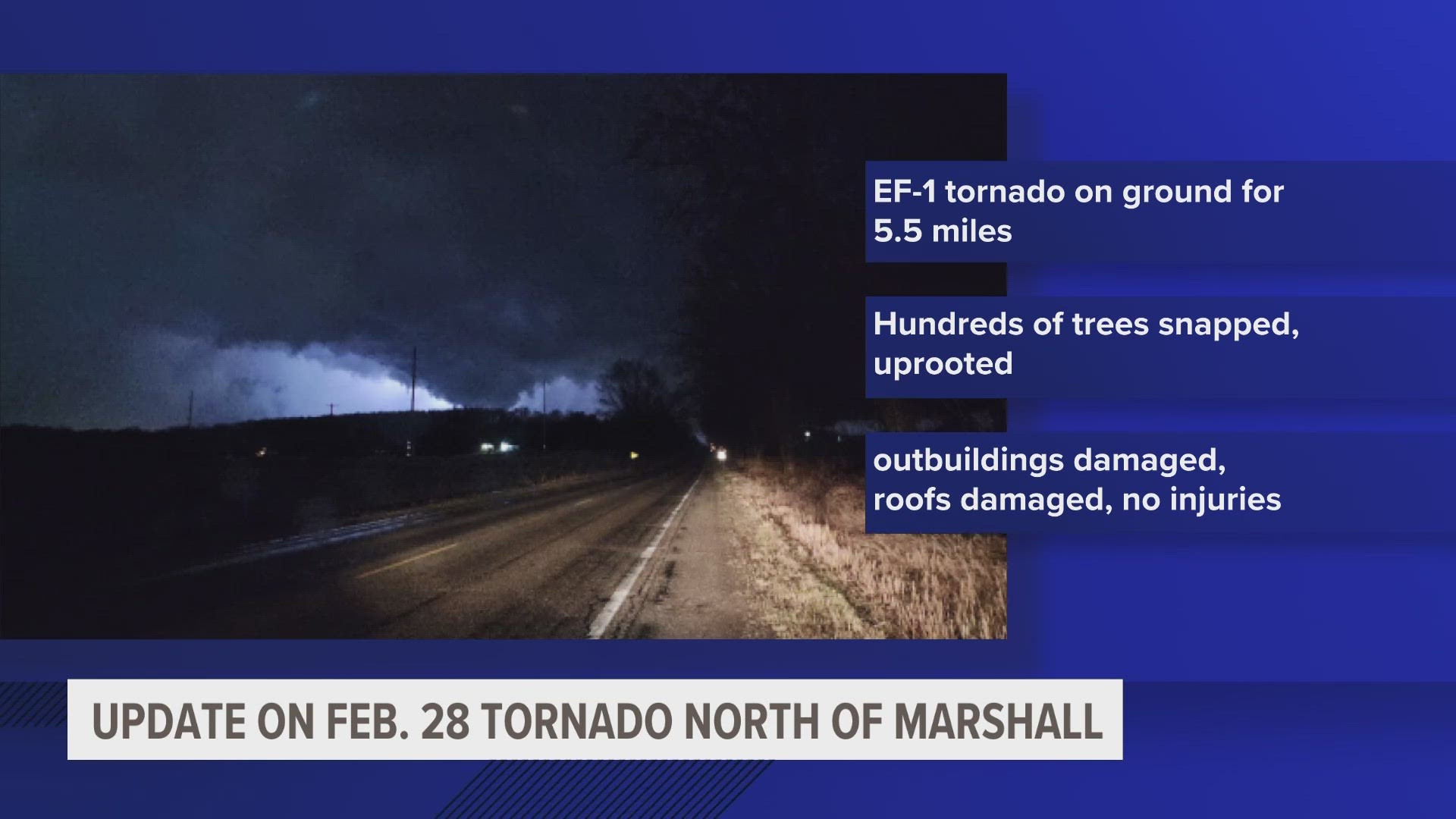
One of them impacted Calhoun County near Marshall that night, creating an EF-1 tornado.
Tuesday, Feb. 27 started off with record-breaking high temperatures across West Michigan — in Grand Rapids, it was over 70 degrees for the first time on record.
Conditions changed rapidly, and the region was ripe for severe weather.
A line of severe thunderstorms entered the area from the south with several supercell thunderstorms out ahead of the line.
Damage from the supercell along the I-94 corridor included the EF-1 tornado near Marshall.
Hail nearly the size of a tennis ball fell along the line of the supercell across Lower Michigan to areas south of I-96.
This storm system continued eastward and caused an EF-2 tornado in Grand Blanc.
Tornado's Path

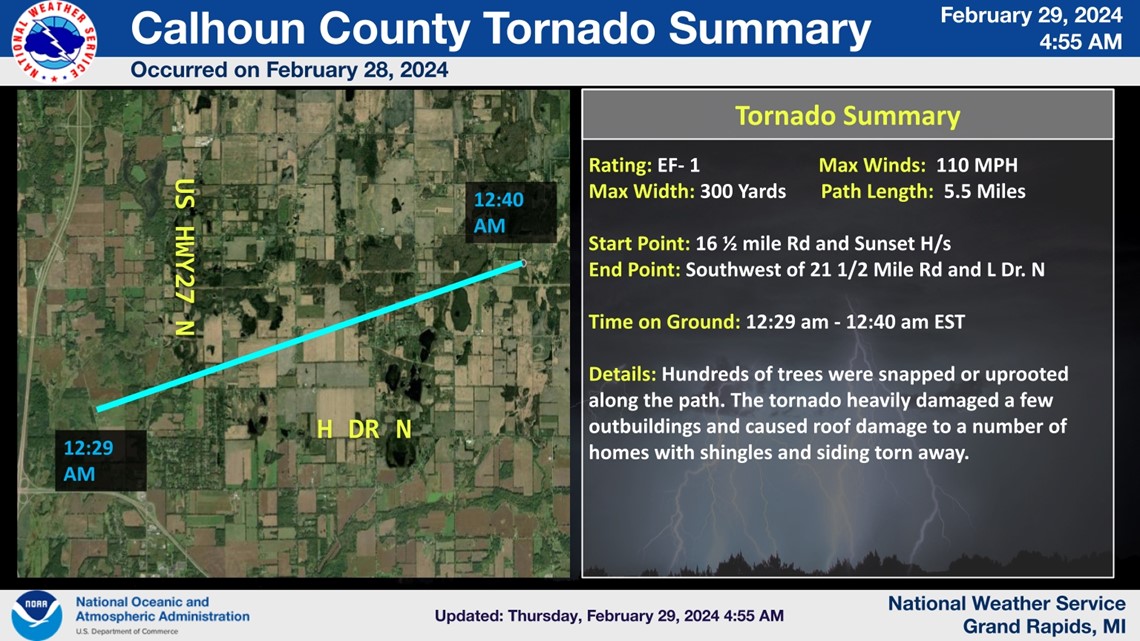
The EF-1 tornado touched down near 16 1/4 mile road and headed to the northeast.
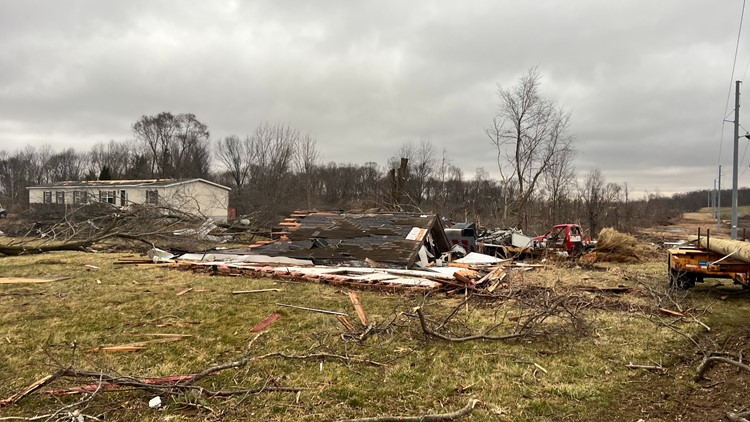
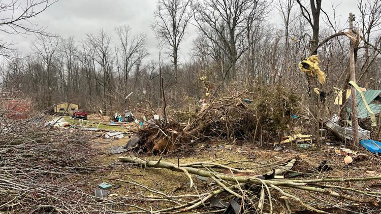
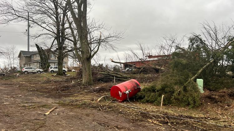
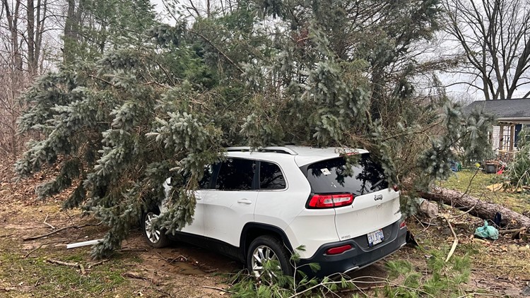
The storm snapped and uprooted hundreds of trees, heavily damaged a few outbuildings and caused roof damage to many homes.
It was on the ground for 5.5 miles and had a max width of 300 yards, the NWS said.


Large Hail
Many Michiganders along the line of the severe storms in Calhoun County reported hail.
One of the largest reported hailstones was spotted in Battle Creek at 2.4 inches.


Damage in Calhoun County
The tornado caused damage to homes, barns, power lines and trees. The Calhoun County Sheriff's Office (CCSO) says there have been no reported injuries from the weather.
Calhoun County storm damage
You can see the National Weather Service's full survey report here.
►Make it easy to keep up to date with more stories like this. Download the 13 ON YOUR SIDE app now.
Have a news tip? Email news@13onyourside.com, visit our Facebook page or Twitter. Subscribe to our YouTube channel.
Watch 13 ON YOUR SIDE for free on Roku, Amazon Fire TV Stick, Apple TV and on your phone.

