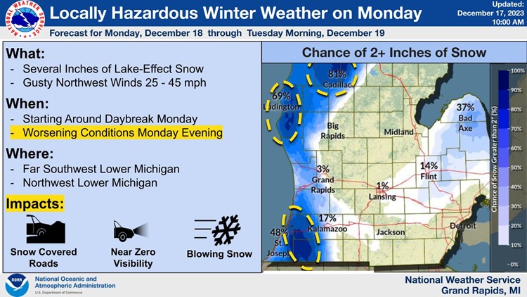
MICHIGAN, USA — The National Weather Service (NWS) issued an advisory Sunday around noon for "locally hazardous winter weather" beginning Monday morning and continuing through Tuesday morning.
The NWS stated Monday morning will begin with wet snow starting right around day break, with minor accumulation possible in much of lower Michigan.
They said Monday evening will see "narrower, more intense zones of lake-effect snow," along with falling temperatures.
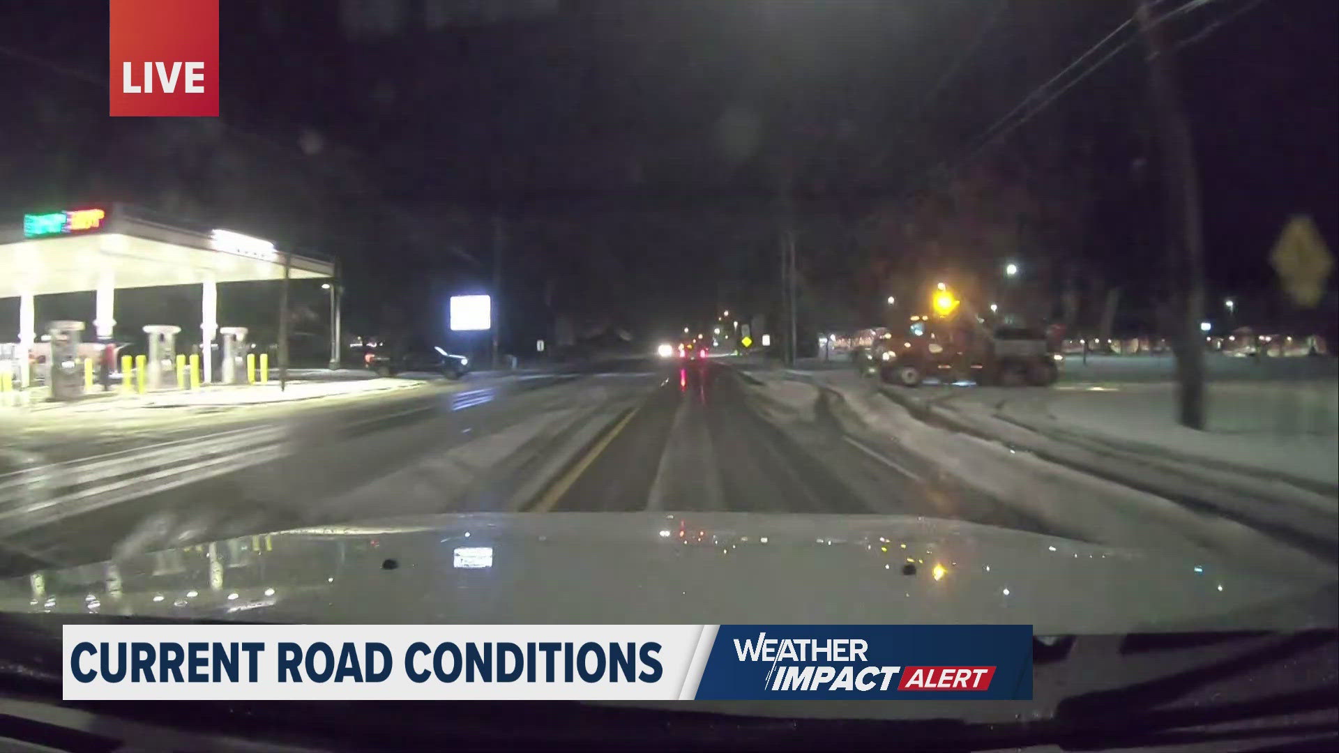
If you're on the road Monday you should practice caution as they warned parts of Southwest and Northwest lower Michigan could see hazardous travel conditions such as blowing snow and low visibility.
The NWS also said those same areas could see several inches of snow accumulation, along with possible power outages as winds are expected to reach up to 45 mph.
The NWS predicted the most likely hazard areas to be I-94 between Benton Harbor and Paw Paw as well as I-196 around South Haven. Possible hazard areas include US-31/US-10 near Ludington along with US-131 North of Reed City.
►Make it easy to keep up to date with more stories like this. Download the 13 ON YOUR SIDE app now.
Have a news tip? Email news@13onyourside.com, visit our Facebook page or Twitter. Subscribe to our YouTube channel.
Watch 13 ON YOUR SIDE for free on Roku, Amazon Fire TV Stick, and on your phone.