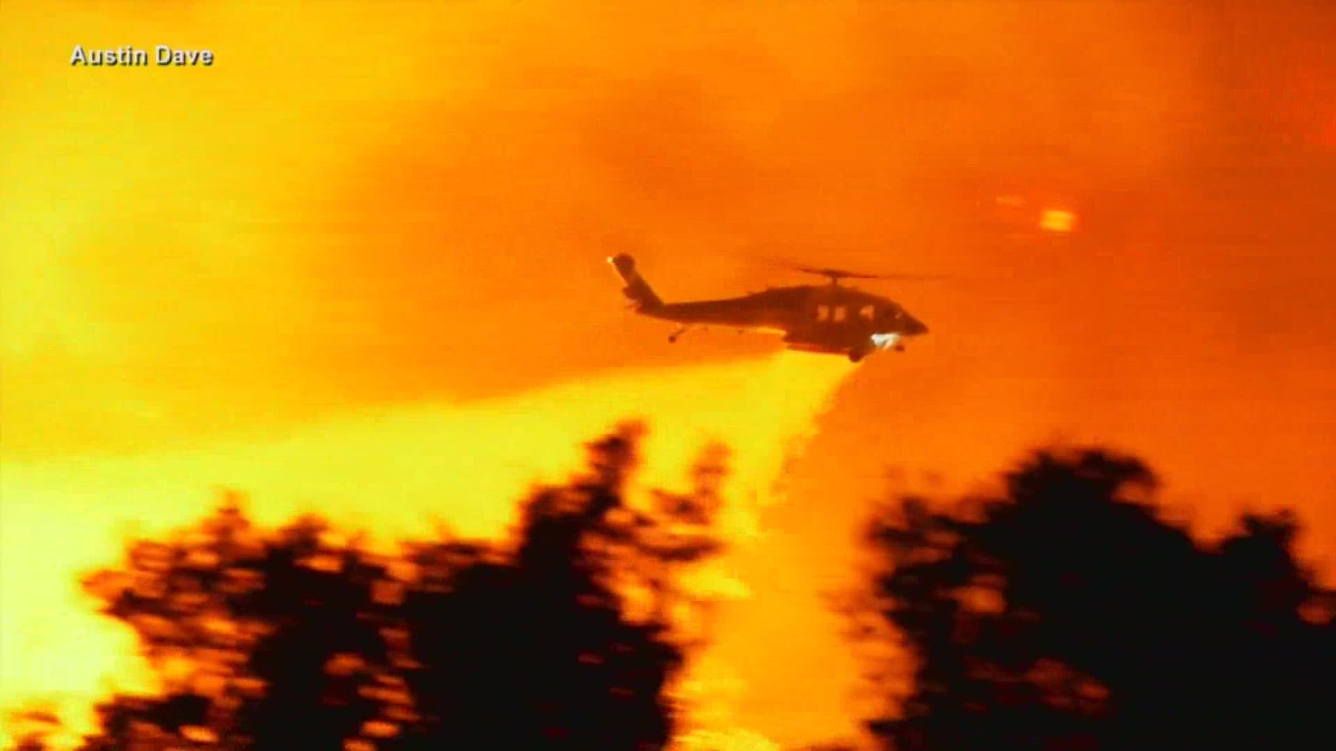
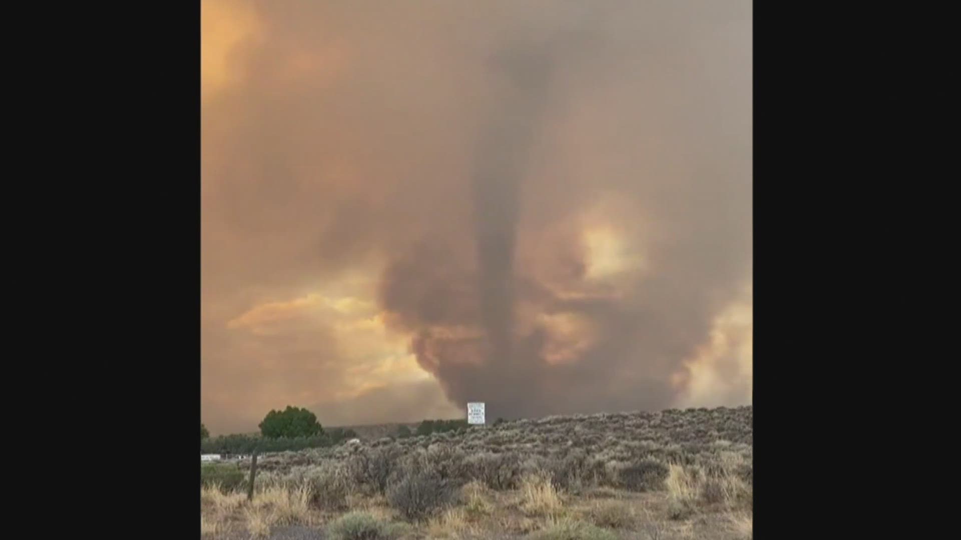
GRAND RAPIDS, Mich. — As wildfires raged across Northern California a rare Fire Tornado warning was issued by the National Weather Service of Reno Nevada. The first of its kind to be detected in real-time on the radar.

It all started with a fire at the surface, providing blazing heat that in the right environment rapidly rose. In this case, being sucked into a pyrocumulonimbus cloud -- acting like a very strong updraft. This extreme heat rose at such a rate that the surrounding air got sucked into this rising column of air. As the winds shifted with height, the column of air generated spin. This spin formed a firenado.
This whirl of fire can reach up to 2,000 degrees Fahrenheit, with tornado force winds at 100+ mph, and with flames reaching up to 100 ft in the air. Creating a particularly dangerous situation, but captivating views.
Social media was flooded with several videos and pictures of the rare event. Showing large plumes of smoke, spewing fire, and sharp contrast in weather conditions.
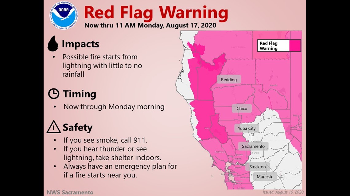
As we enter into the new week dangerously hot temperatures forecasted to reach up to 110 degrees Fahrenheit continues to threaten California. Dry thunderstorms are possible this afternoon for locations west and north of Sacramento. With this very hot and dry weather pattern, any lightning would likely ignite a fire.


RELATED VIDEO:
►Make it easy to keep up to date with more stories like this. Download the 13 ON YOUR SIDE app now.
Have a news tip? Email news@13onyourside.com, visit our Facebook page or Twitter. Subscribe to our YouTube channel.


