GRAND RAPIDS, Mich. — It was just a few weeks ago that a TikTok question received a viral answer.
The question was "What is something that you found out late in life that you should have known earlier but you just didn't?" Sydney Kelley, who goes by @sydjkell on TikTok, answered about the percentages seen in weather forecasts.
She had always believed that a percentage in the forecast meant the exact chance of rain for her location, but was shocked to find out it actually means the percent of the area forecast for by the meteorologist to receive precipitation. In other words 30% means expect rain, just in 30% of the forecast area.
WATCH BELOW: Meteorologist Michael Behrens speaks with Sydney Kelley about her viral TikTok.
The thing is though, this answer and realization is not universal. Over the years probability or percentage of precipitation (POP) has been calculated in many different ways.
In the 1970s, as weather models were first starting to be computerized, POP was calculated by taking the state of the atmosphere and comparing it to previous events. If 6/10 similar events resulted in rain or snow the POP was 60%.
With newer weather models percentages can be a static chance value for your location, however, with human forecasters it can be a value of multiple variables. This can include forecaster confidence, areal coverage, and even some times temporal duration.
This can lead to confusion when reading a forecast as the percentage values can be representing different things from app to app, station to station, or forecaster to forecaster.
So what does it mean in your 13 On Your Side forecast?
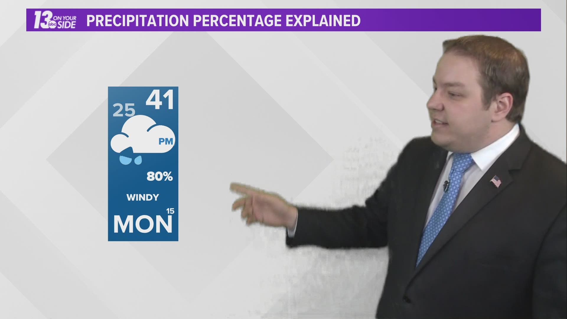
Well, our goal is to make things simpler for you at home. Our philosophy is that you will either get rain or you won't, it just depends on where you live. As of such a 60% in our forecast means 60% of the 13 counties we forecast for here in West Michigan will see measurable precipitation.
We may augment this value with text like AM/PM/Night to better specify when the rain/snow will occur, or if coverage is expected to be less than 20% of the area, we will use words like isolated or few to describe the event.
Calculating this value in practice is actually made easier by the road layout of West Michigan. I-96 and US-131 divide our area into near perfect quadrants.


This means in practice we can forecast events like lake effect snow that stay to the west of US-131 as a 50% in the 10 day forecast. Or events like summer thunderstorms flowing in from the south but limited only to areas southeast of Grand Rapids as a 30% coverage event.
At the end of the day the most important thing is that wherever you get your weather information from you understand what their numbers mean and do not assume they mean the same thing as someone else's do.
So with that in mind, if you ever have a weather question for us here at 13 On Your Side, just reach out and ask! We are always willing to get you the answer!
-- Meteorologist Michael Behrens
Follow me on social media! Facebook Meteorologist Michael Behrens, Twitter @MikeBehrensWX, and Instagram @MikeBehrensWX.
Email me at: MBehrens@13OnYourSide.com
Have a 30-second video or still photo to share? We'd love to share it with everyone! Email your image to Weather@13OnYourSide.com or post it to our 13OnYourSide Facebook Page.
►Make it easy to keep up to date with more stories like this. Download the 13 ON YOUR SIDE app now.
Have a news tip? Email news@13onyourside.com, visit our Facebook page or Twitter. Subscribe to our YouTube channel.


