GRAND RAPIDS, Mich. — Just days away from Christmas, the forecast is looking pretty set across West Michigan, and the chance for snow is as close to zero as you can get. A year ago, that was a very different story.
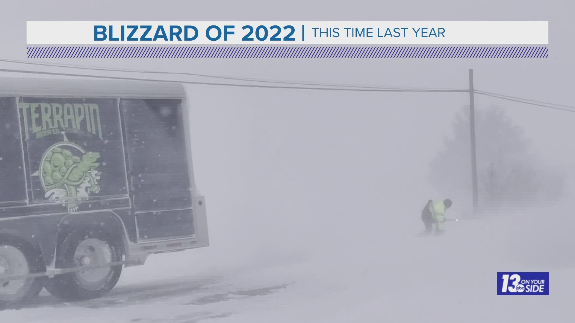
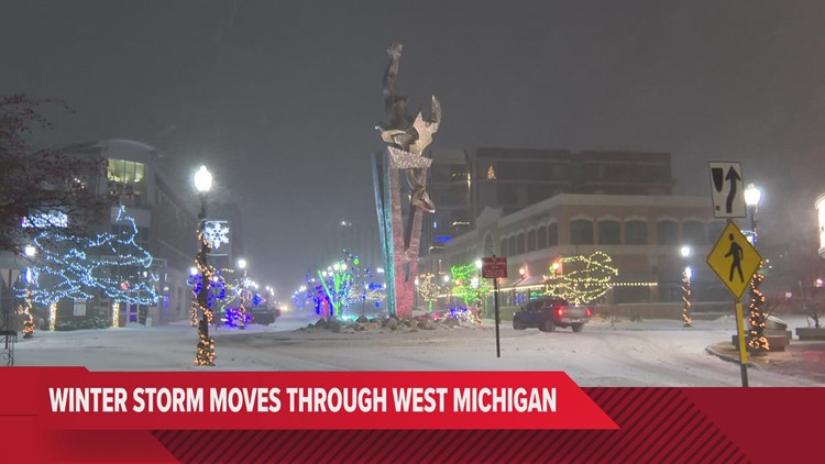
In the week leading up to Christmas last year, the 13 ON YOUR SIDE Weather Team was digging into the data that was looking more and more like a major winter storm was heading toward West Michigan. That storm would end up being the first blizzard in our region since 2011.
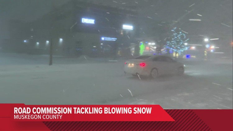
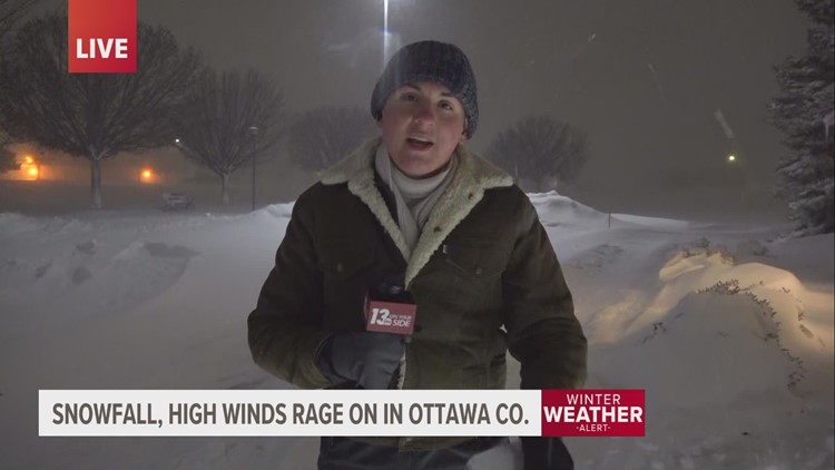
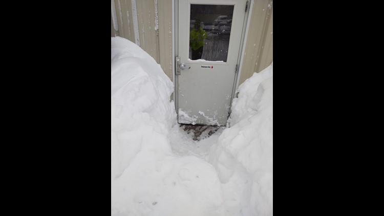
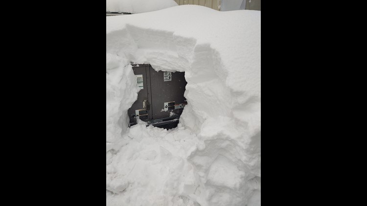
The system would ultimately go on to drop upwards of two feet of snow over parts of West Michigan.

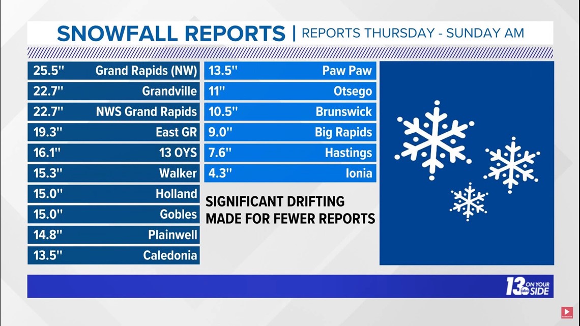
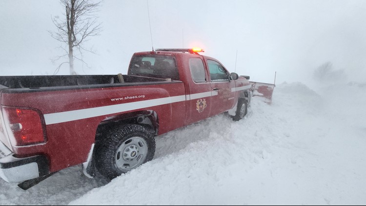
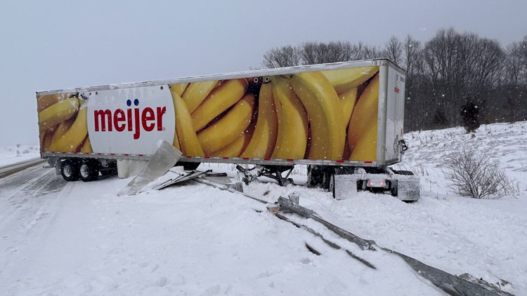
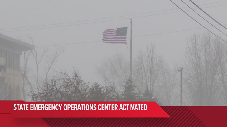
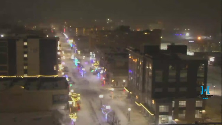
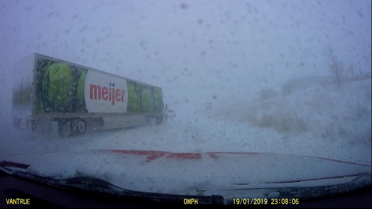
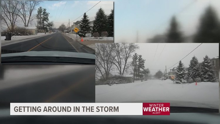
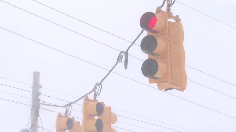
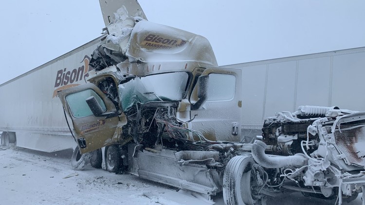
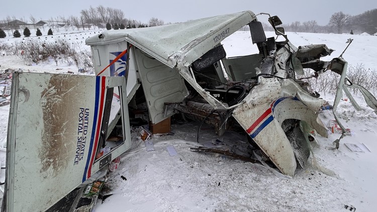
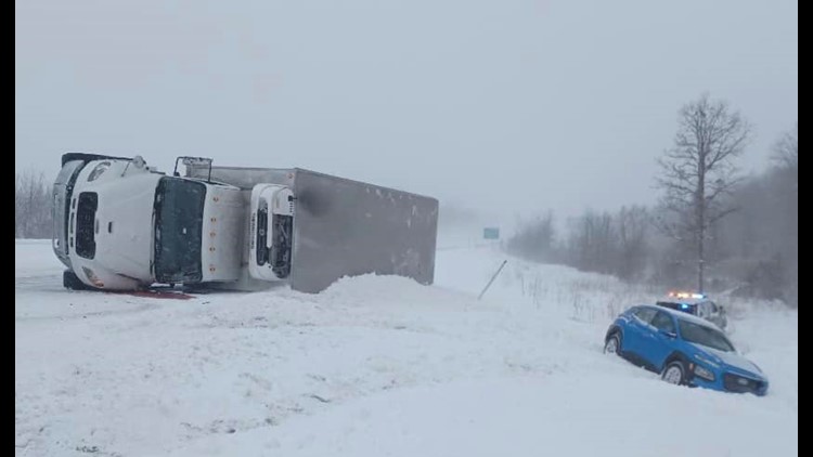
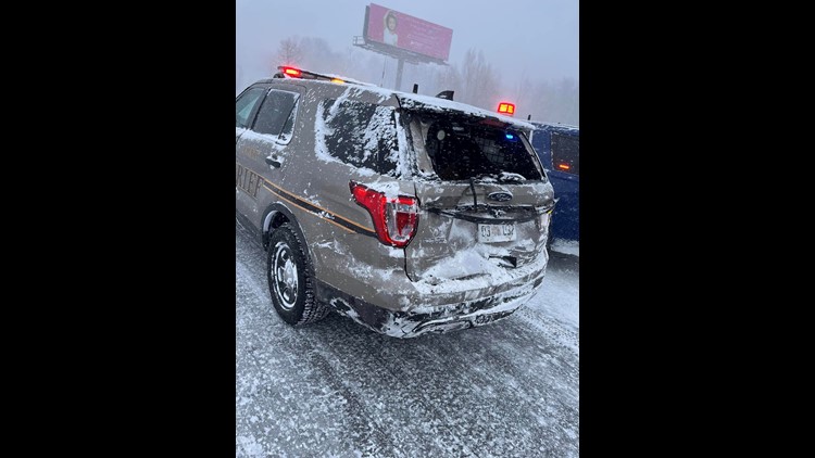
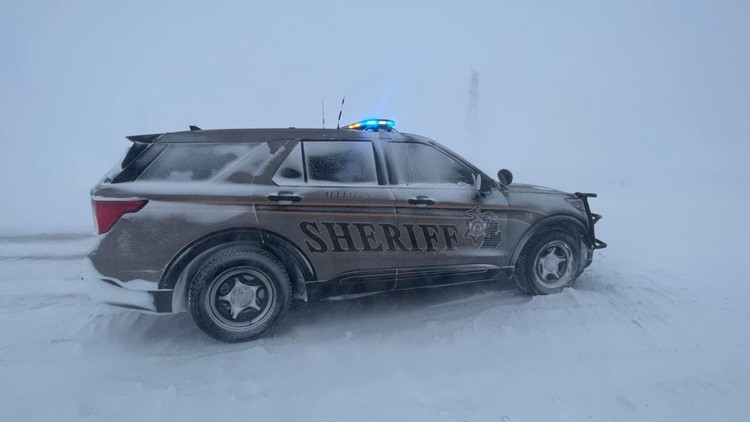
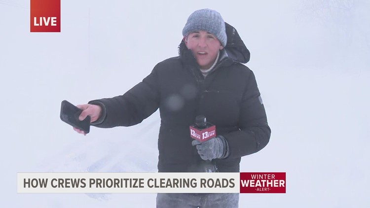
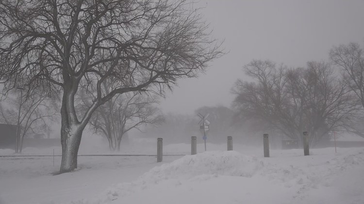
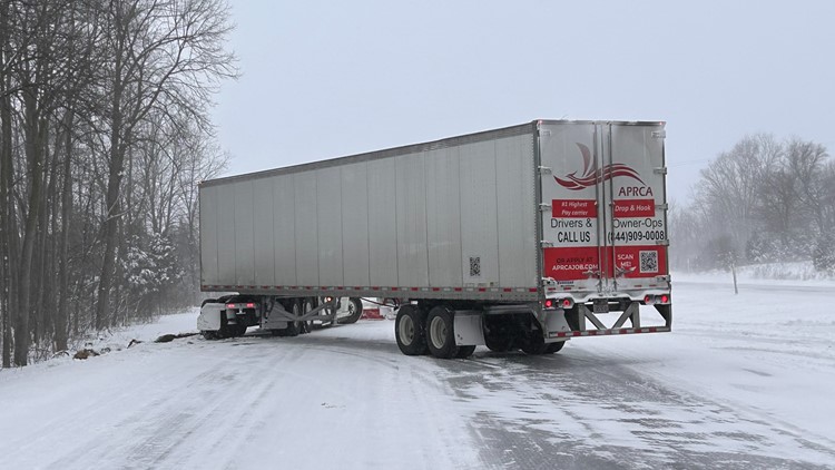
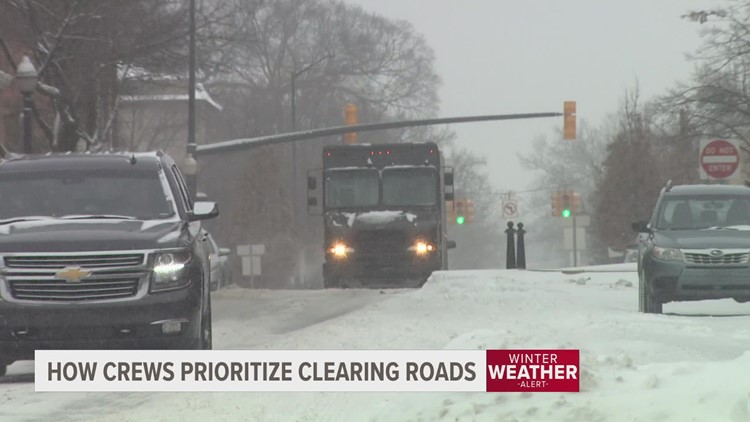
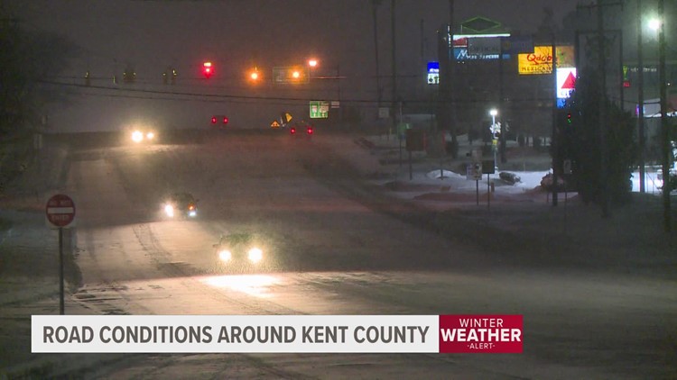
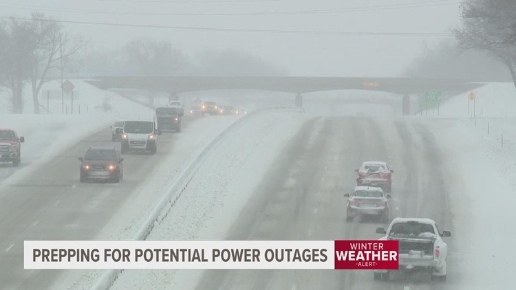
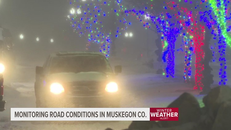
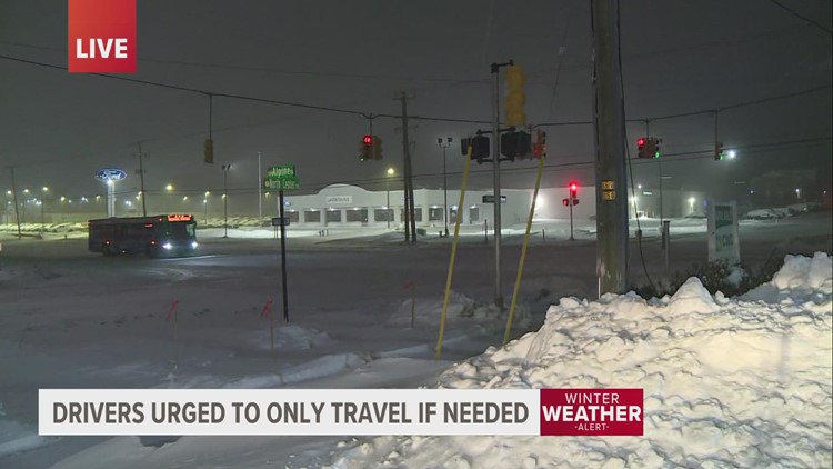
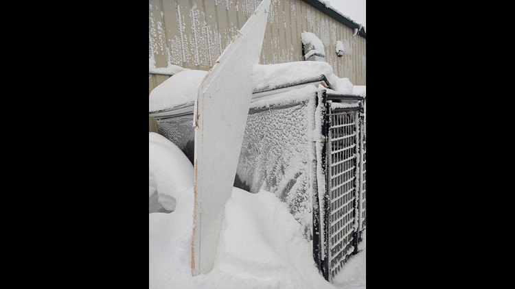
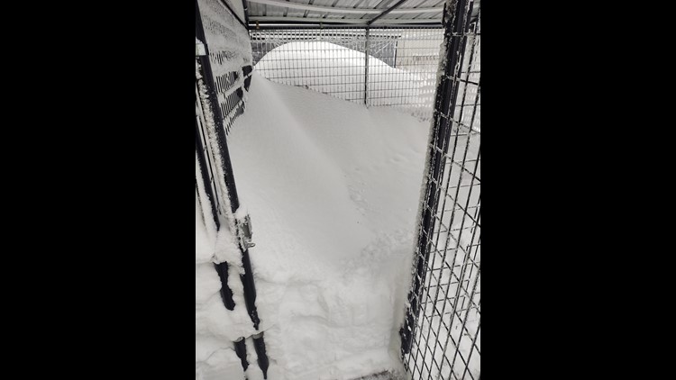
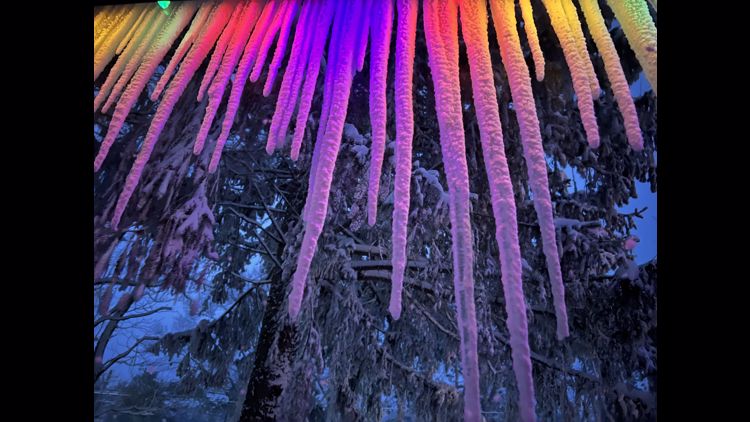
While the numbers are one thing, seeing the pictures is certainly another. The gallery below is a collection of some of the photos from our coverage of the blizzard last year.
Images Of The Christmas Blizzard of 2022
Even after the bulk of the snow had fallen, conditions remained very wintry through Christmas Day. Dec. 25, 2022 had a high of just 19 degrees with an additional 2.7 inches of snow falling.
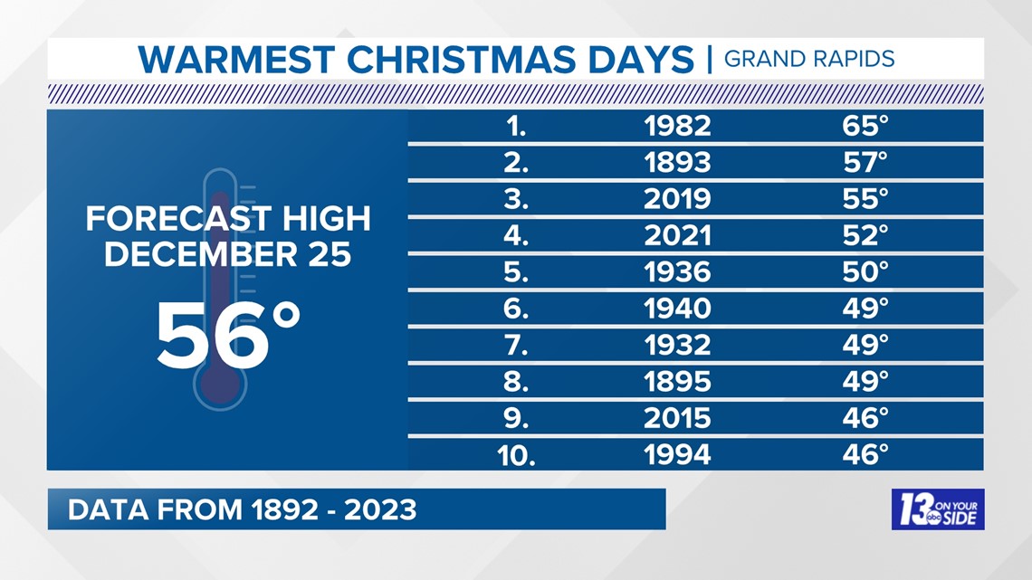
Christmas this year is looking likely to land in the top 5 warmest of all time.

To get a full recap of everything related to last year's blizzard, and to watch some of the must see clips from that storm, check out our 13+ special on the Christmas Blizzard of 2022, video below!
-- Meteorologist Michael Behrens
Follow me on social media! Facebook Meteorologist Michael Behrens, X/Twitter @MikeBehrensWX, and Instagram/Threads @MikeBehrensWX.
Email me at: MBehrens@13OnYourSide.com
Have a 30-second video or still photo to share? We'd love to share it with everyone! Email your image to Weather@13OnYourSide.com or post it to our 13OnYourSide Facebook Page.
►Make it easy to keep up to date with more stories like this. Download the 13 ON YOUR SIDE app now.
Have a news tip? Email news@13onyourside.com, visit our Facebook page or X/Twitter. Subscribe to our YouTube channel.

