
MARSHALL, Mich. — Thunderstorms brought heavy rain, high winds, large hail and reports of tornadoes to West Michigan overnight Tuesday into Wednesday.
WHAT
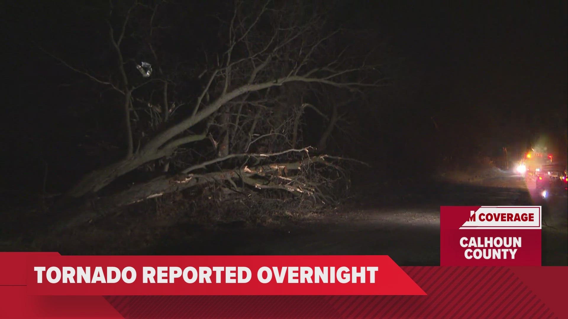
Rounds of storms roared through west Michigan last night bringing multiple tornado and severe thunderstorm warnings to counties south of I-96. The main threats were confined to Calhoun, Van Buren and Kalamazoo counties, with Marshall being one of the hardest-hit locations.
REPORTS
Just after 12:30 a.m. Wednesday, Calhoun County 911 dispatcher and trained storm spotter Michael Armitage reported seeing a tornado at 26 Mile and F Drive North. This was a tornado warned storm at the time, with clear radar indication of a rotation.
Other damage reports are still rolling in this morning, but there are multiple reports of 1.75-inch hail, which is equivalent to golf ball sized hail, as well as damage to trees and powerlines.
Here is a list of other storm reports given by the National Weather Service:
1. 1235 AM Tornado 5 NNE Marshall 42.33N 84.93W
02/28/2024 Calhoun MI 911 Call Center
911 Center Director, Trained spotters, and
radar confirmation.
2. 1225 AM Hail 1 SE Brownlee Park 42.32N 85.12W
02/28/2024 M1.75 inch Calhoun MI Broadcast Media
3. 1220 AM Hail 1 SSE Battle Creek 42.30N 85.17W
02/28/2024 M1.75 inch Calhoun MI Trained Spotter
4. 1215 AM Hail 4 SSW Springfield 42.27N 85.26W
02/28/2024 M1.25 inch Calhoun MI Trained Spotter
5. 1225 AM Hail 1 SE Brownlee Park 42.32N 85.12W
02/28/2024 M1.00 inch Calhoun MI Trained Spotter
6. 1126 PM Tstm Wnd Dmg 3 SW Lawton 42.13N 85.88W
02/27/2024 Van Buren MI Trained Spotter
Healthy trees and power lines down on County
Road 669 just north of 79th Street.
7. 1036 PM Hail 4 SE Mattawan 42.17N 85.75W
02/27/2024 E1.00 inch Kalamazoo MI Public
Report from mPING: Quarter (1.00 in.).
CONFIRMATION
The National Weather Service of Grand Rapids will likely be out later Wednesday to confirm that tornado, rate its size and assess the damage. We have crews headed out to get a first-hand look as the sun comes up.
Have a 30-second video or photo to share? We'd love to share it with everyone! Share your images by texting your name and location to 616.559.1310 or email to Weather@13OnYourSide.com or post it to our 13OnYourSide Facebook Page
WINTER WEATHER
A strong cold front sweeps through West Michigan today causing plummeting temperatures into the 20s. This rapid drop, falling below freezing, brings the potential of a flash freeze throughout the morning. Icy conditions will be the major impact during the morning commute.
As temperatures fall, there’ll be a brief transition to snow showers accompanying the cold front’s passage. Snow accumulation is expected to be meager, with 1 to 2 inches expected West of US-131. The colder temperatures will allow a lake effect component to the snow but is expected to taper off by afternoon.
Despite a return to winter conditions, another spring warm-up is in sight by this upcoming weekend. High temperatures are expected to soar into the 50s by Friday and into the 60s by Sunday.
►Make it easy to keep up to date with more stories like this. Download the 13 ON YOUR SIDE app now.
Have a news tip? Email news@13onyourside.com, visit our Facebook page or Twitter. Subscribe to our YouTube channel.
Watch 13 ON YOUR SIDE for free on Roku, Amazon Fire TV Stick, and on your phone.