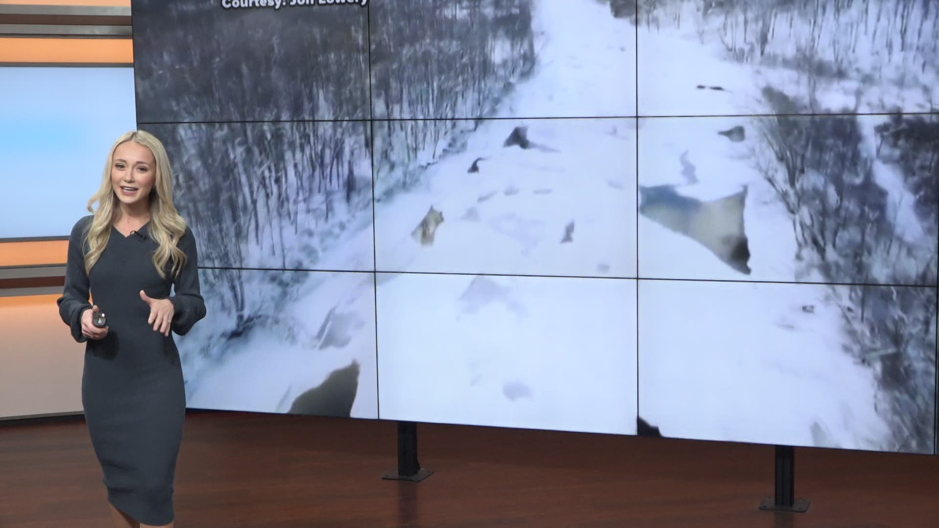
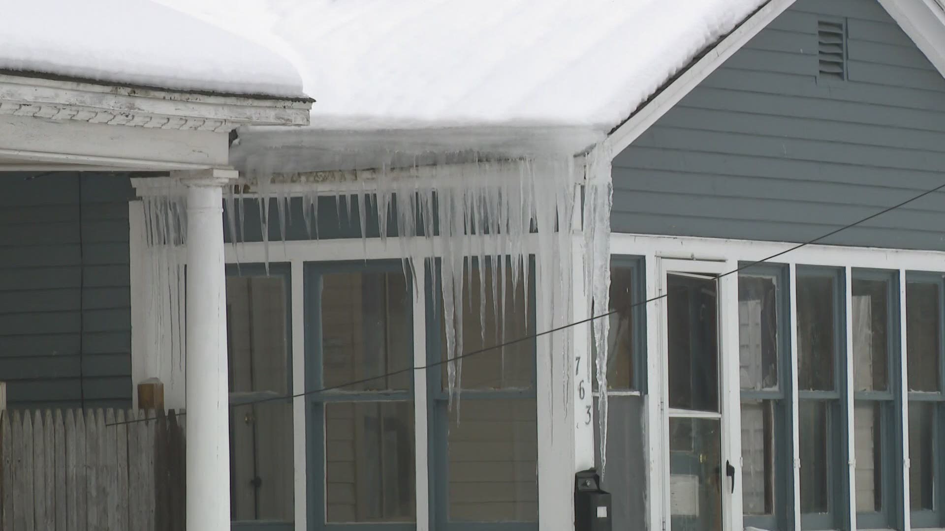
GRAND RAPIDS, Mich — West Michigan rivers have a stable covering of snow and ice due to our cold conditions the last two weeks. But eventually, things start to melt.
This typically happens when entering into a significant warm-up or a period warm enough that we melt the snow or start to see rain. But if temperatures spike too quickly this can pose a threat.
We spoke to National Weather Service hydrologist Andrew Dixon to explain why this becomes a concern and if it is a threat to West Michigan.
"Rivers don't like roller coasters," Dixon explained. "By that, I mean rivers adapt slowly to changes really well. We run into trouble when we are talking about wild swings in the temperature."
Fortunately, this week we are not seeing exactly that. We would consider this warm-up to be gradual, thus decreasing the threat of ice jams and flooding.


You may also recall that we had a dry fall and the first half of winter. This means the river's water levels are lower than they have been for the past several years. Therefore we remain cautiously optimistic that Spring flooding and ice jams will not pose a huge threat this year.
Although, Dixon explains that this does not mean we should completely let down our guard.
"This is a vulnerable time of the year for West Michigan on the rivers. Everyone who lives and recreates on the river knows that."
So, it is a good time to have a plan and pull things away from the river banks just in case something does develop. General preparedness is always a good idea.
In the end, we are not snapping our fingers and melting all this snow and ice at once, like we saw back two years ago when the Portland ice jams occurred. We just need to continue to proceed with cautious optimism.
RELATED VIDEO:
►Make it easy to keep up to date with more stories like this. Download the 13 ON YOUR SIDE app now.
Have a news tip? Email news@13onyourside.com, visit our Facebook page or Twitter. Subscribe to our YouTube channel.


