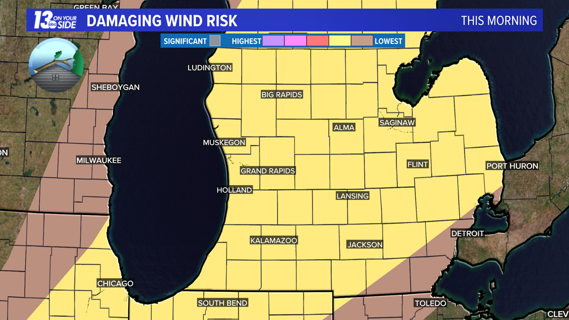
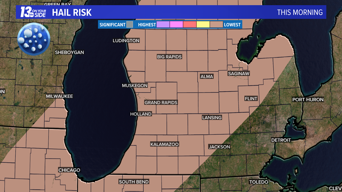
Strong to severe storms impacted West Michigan this afternoon. Storms tracked from NW portions of West Michigan to the SE throughout the day. They started around 1 p.m. and could exit the region by 8 p.m.
The main threats include:
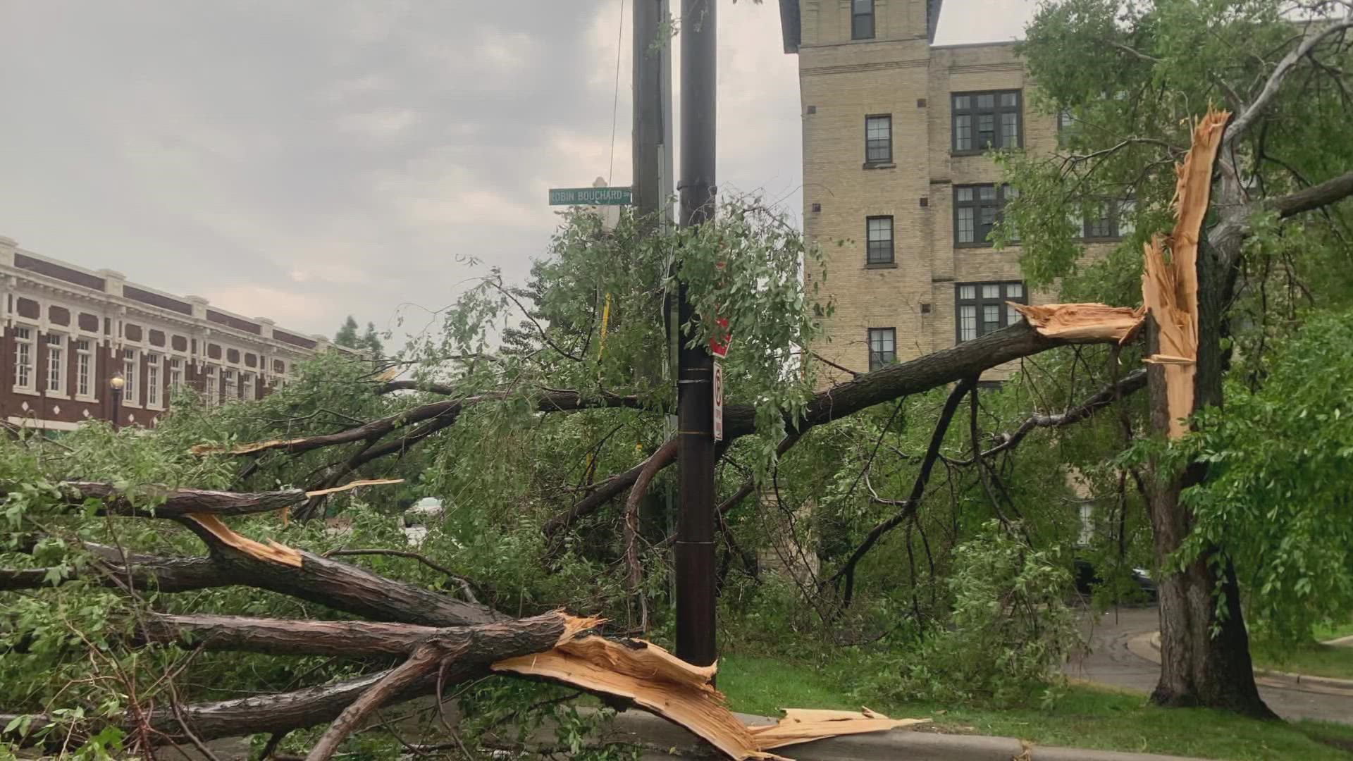
- Damaging winds of 45+ mph. This could create power outages and downed trees.
- Large hail and isolated tornadoes are low-end threats.
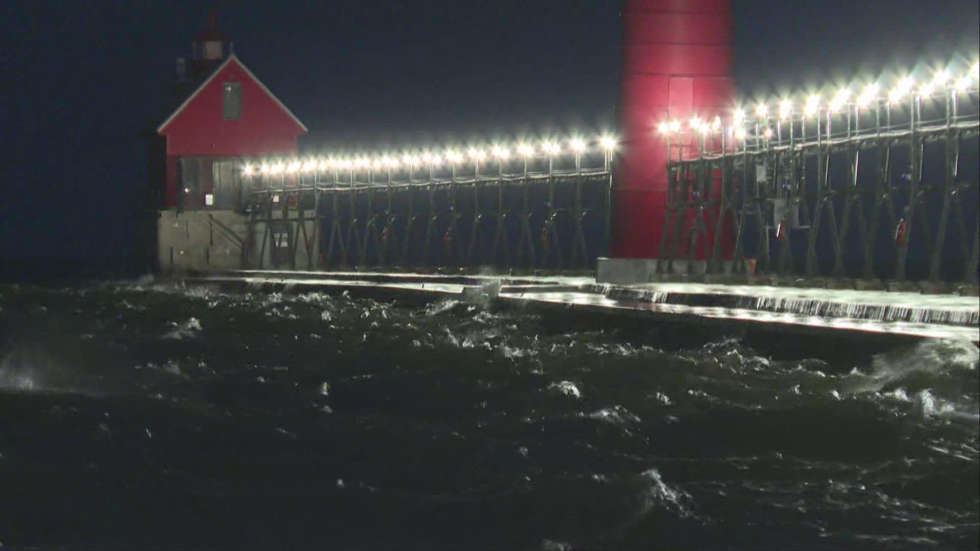
- Life-threatening waves at 6 to 8 feet.


Here are a few tips to help you prepare before storms impact our area.


You should have a way to receive weather alerts such as a NOAA weather radio.
If you have an iPhone, go to:
- Settings
- Notifications
- Scroll to the bottom to Government Alerts
- Turn on Emergency Alerts and Public Safety Alerts


This line of storms is also stirring up Lake Michigan. 6 to 8 ft waves are forecast for this afternoon. No one should be going in the water or walking along the piers Tuesday.
Stay safe, stay weather aware!
Meteorologist Samantha Jacques
Contact me at: SamanthaJacques@13onyourside.com
Follow me on Twitter @WXSamantha and Facebook @WXSamanthaJacques
Have a 30-second video or still photo to share? We'd love to share it with everyone! Email your image to Weather@13OnYourSide.com or post it to our 13OnYourSide Facebook Page
RELATED: Beach and Boating Forecast
RELATED VIDEO:
►Make it easy to keep up to date with more stories like this. Download the 13 ON YOUR SIDE app now.
Have a news tip? Email news@13onyourside.com, visit our Facebook page or Twitter. Subscribe to our YouTube channel.


