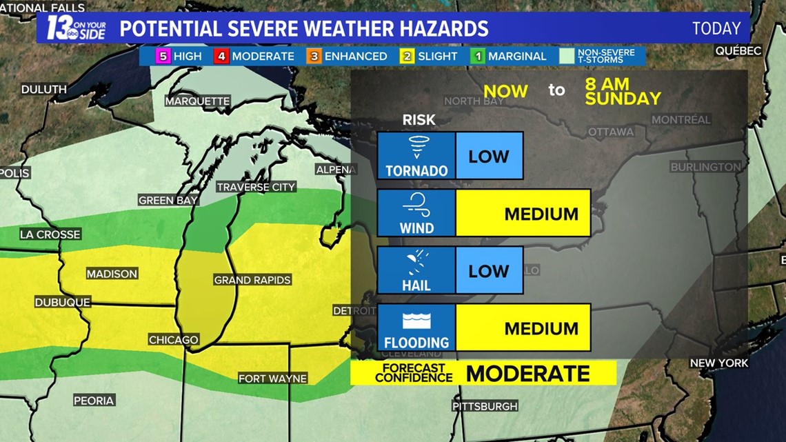
GRAND RAPIDS, Mich. — The focus of the West Michigan weather forecast is the likelihood of thunderstorms that will continue into early Sunday, which includes a continuing risk of severe weather and/or heavy rainfall. As of Sunday morning, the majority of West Michigan is currently in an ‘Slight Risk’, which is a level 2 of 5 risk.


In all, West Michigan should be prepared for continued storms early Sunday.
We could see several hours of heavy rainfall around West Michigan with this second wave of thunderstorms, which could lead to some potential flooding, especially in lower lying areas and those that usually flood in heavy rainfall. Severe weather is less likely with these storms, but an isolated strong thunderstorm is still possible.
In terms of rainfall, some areas could quickly pick up 1 to as high as 4+ inches from Saturday morning through Sunday afternoon. This will be a widespread rainfall, but if any areas of training storms develop, localized flooding risks will likely develop.


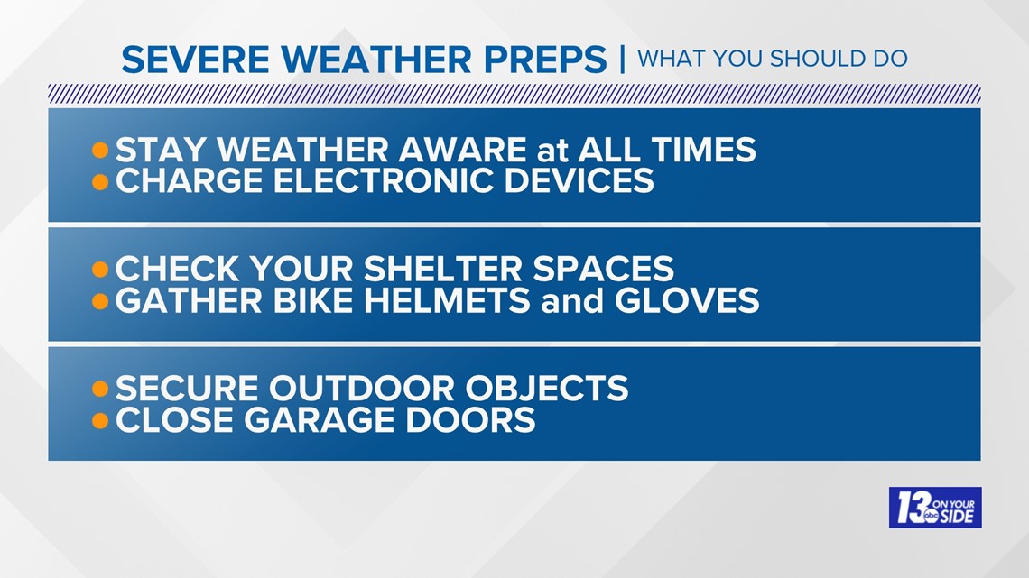
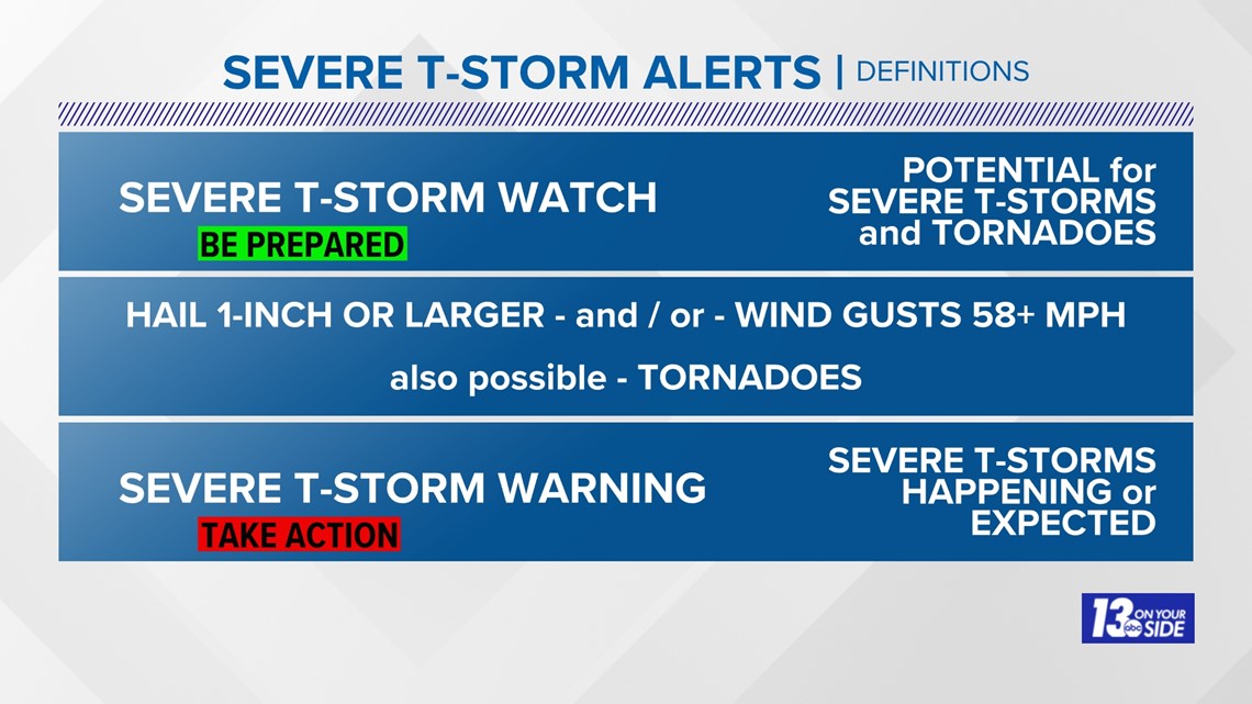
Make sure you have a reliable way to receive weather information. NOAA weather radios and the 13 ON YOUR SIDE Weather App are two ways to do this.


Stay weather aware and with the 13 On Your Side Weather Team for the latest updates!
-- The 13 On Your Side Weather Team
Have a 30-second video or still photo to share? We'd love to share it with everyone! Email your image to Weather@13OnYourSide.com or post it to our 13OnYourSide Facebook Page
►Make it easy to keep up to date with more stories like this. Download the 13 ON YOUR SIDE app now.
Have a news tip? Email news@13onyourside.com, visit our Facebook page or Twitter. Subscribe to our YouTube channel.

