GRAND RAPIDS, Mich. — Soaking, heavy rainfall across West Michigan – the 13 ON YOUR SIDE Weather Department has issued a 13 Weather Impact Alert from 11 p.m. Monday to 12 p.m. Tuesday.
HERE’S WHY
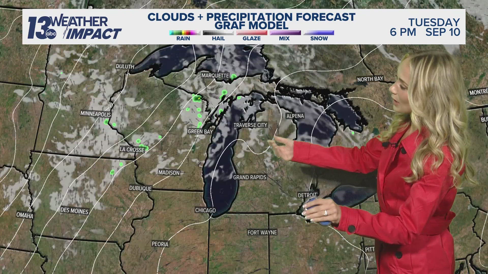
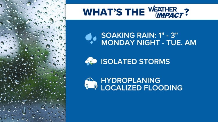
A widespread swath of rain will move into the area overnight, continuing through the morning hours Tuesday. The rainfall will be locally heavy, enhanced by embedded thunderstorms, with 1” to 3” expected across much of West Michigan.

Showers will be scattered overnight before widespread coverage arrives during the daybreak hours Tuesday. Rainfall will diminish gradually from midday into the early afternoon.
Meteorologically, the rainfall will be traversing northward of a nearby warm front across the Ohio River Valley, putting West Michigan in a favorable position. Plentiful moisture will allow effective precipitation rates, increasing confidence that rainfall will be heavier in nature.
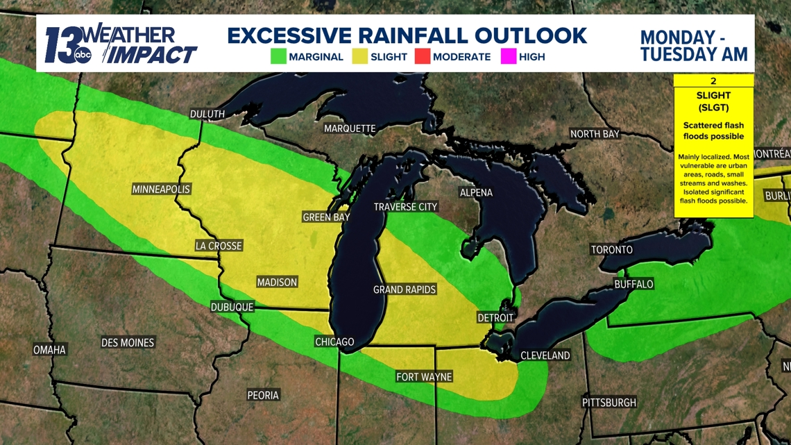
Model guidance has been consistent in the timing, location and amount of rainfall overnight into Tuesday. The Weather Prediction Center (WPC) has put West Michigan under a Slight Risk for excessive rainfall, meaning localized flash flooding is possible. Most vulnerable are poor drainage areas/roads, small streams and washes.

Despite the thunderstorm potential, any severe weather risk remains minimal. This is in large part due to the unfavorable timing of this system (arriving at night and extending into the morning) and West Michigan being positioned northward of the warm front (limiting instability).
IMPACTS
The swath of rainfall is expected to be at its peak – coverage and intensity – during the Tuesday morning commute, potentially causing poor visibility and hydroplaning. In any heavy rain event, short-lived flooding will be possible in typical low-lying and poor drainage areas.
On top of the morning commute being impacted, those heading to the polls Tuesday could contend with impacts. Extra time and distance will be needed if getting out to vote in the morning.
Overall, this heavy rain event will likely be more of an inconvenience across West Michigan, rather than bringing major impacts, but the risk will need to be closely watched.
BEYOND
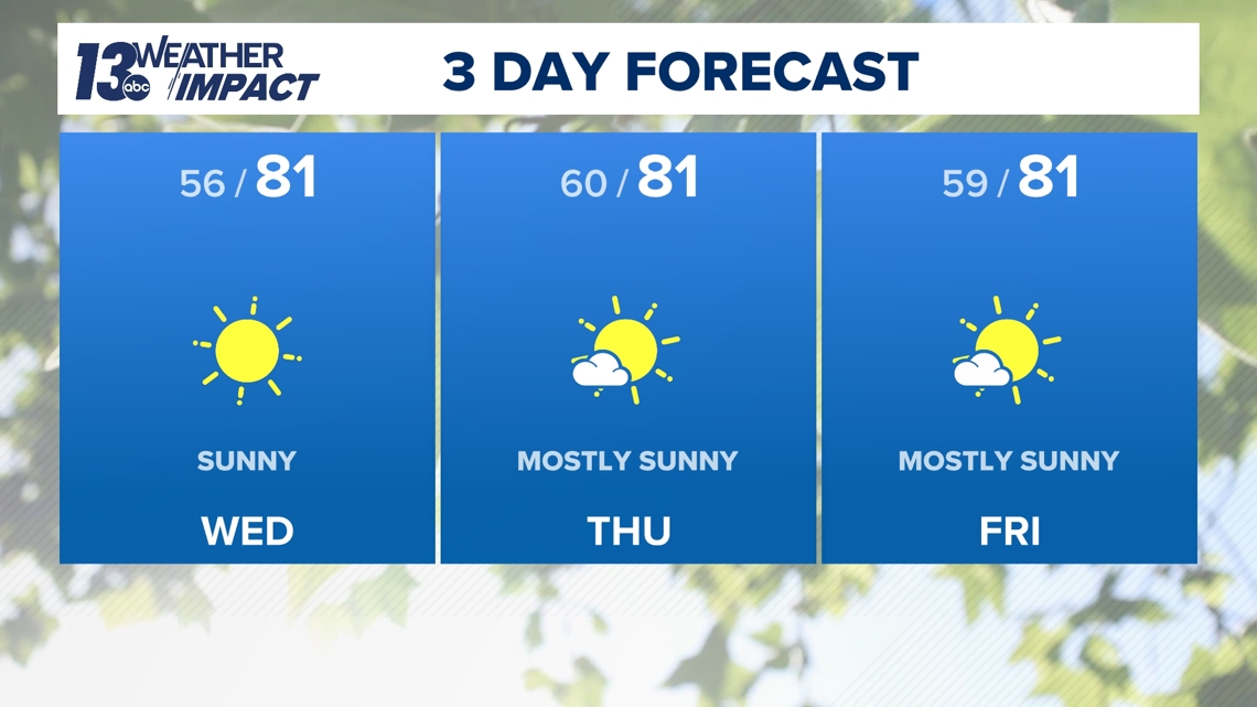
Once this rain event concludes, West Michigan will enjoy several days of dry weather the rest of the week into the weekend. Temperatures will be near average for the first half of August, with daytime highs in the lower 80s. The recent stretch of humidity will also depart, allowing comfortable conditions to be commonplace.

TEXT US
TEXT your weather photos to us at 616-559-1310.
Please include the following with your photo(s):
- Your storm photos
- Your first and last name
- Date and time of your photos
- Locations of your photos
- What’s in your photos?


13 Weather Impact Alerts highlight key times to be weather aware. Weather that has an impact on day-to-day plans will trigger an alert. The 13 Weather Impact Team will explain when to expect the weather, what impact it will have, and how to keep yourself safe and comfortable with clear, easy-to-understand graphics. See how to get these alerts here.