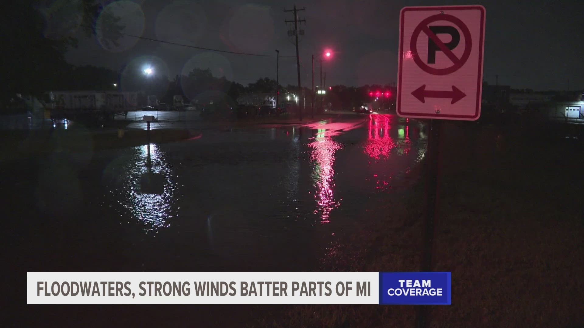
GRAND RAPIDS, Mich. — As severe storms rolled across West Michigan Wednesday, areas of southwest and West Michigan are feeling the impacts, the largest of which is localized flooding.
The region got an estimated three to four inches of rain between Wednesday afternoon and evening. The heavy rainfall has caused flooding in rivers, creeks, streams and other low-lying areas.
In Wyoming, some roads are completely covered in water, like Clay Avenue and 64th Street.

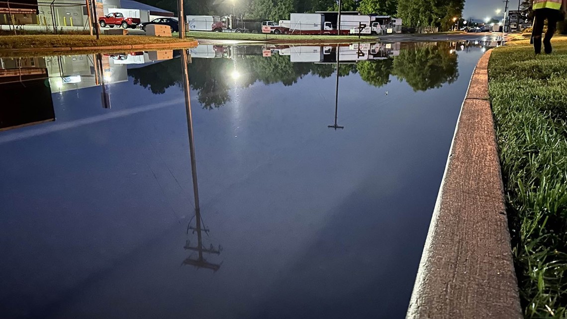


Dispatchers in Kent and Allegan counties did not report any issues with water over the roads, but drivers are encouraged to not drive through standing water, as only six inches of water are needed to cause steering issues. Remember the phrase, "Turn around, don't drown."
The storm also knocked out power to some Michiganders, with about 14,000 people still without power as of Thursday morning. In West Michigan, only about 2,000 people were impacted, and a majority of those outages were resolved overnight.
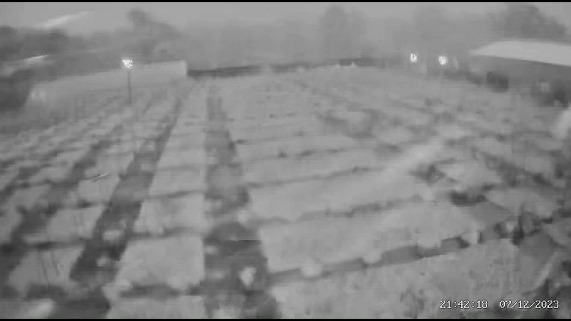
While tornadoes were reported in the Chicago area, causing hundreds of flights to be delayed, no tornadoes were spotted in West Michigan. However, high winds still battered certain areas.
A video from Matt Rudkin with Horizon Broadband in Van Buren County shows the high winds pushing back a fence and blowing objects over.
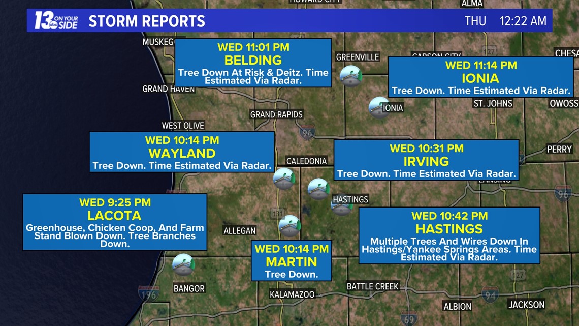
Damage reports in West Michigan included downed trees, small buildings blown over and downed wires.

Dry skies are anticipated for Thursday, though chances for rain return to the forecast for Friday and Saturday. Stay up to date with the 13 ON YOUR SIDE Meteorologists for the latest forecast information.
►Make it easy to keep up to date with more stories like this. Download the 13 ON YOUR SIDE app now.
Have a news tip? Email news@13onyourside.com, visit our Facebook page or Twitter. Subscribe to our YouTube channel.

