GAYLORD, Mich. — Friday afternoon was a warm and humid day in lower Michigan. A day when all the right ingredients were in place for something rare to happen.
That something was a violent and deadly EF-3 tornado.
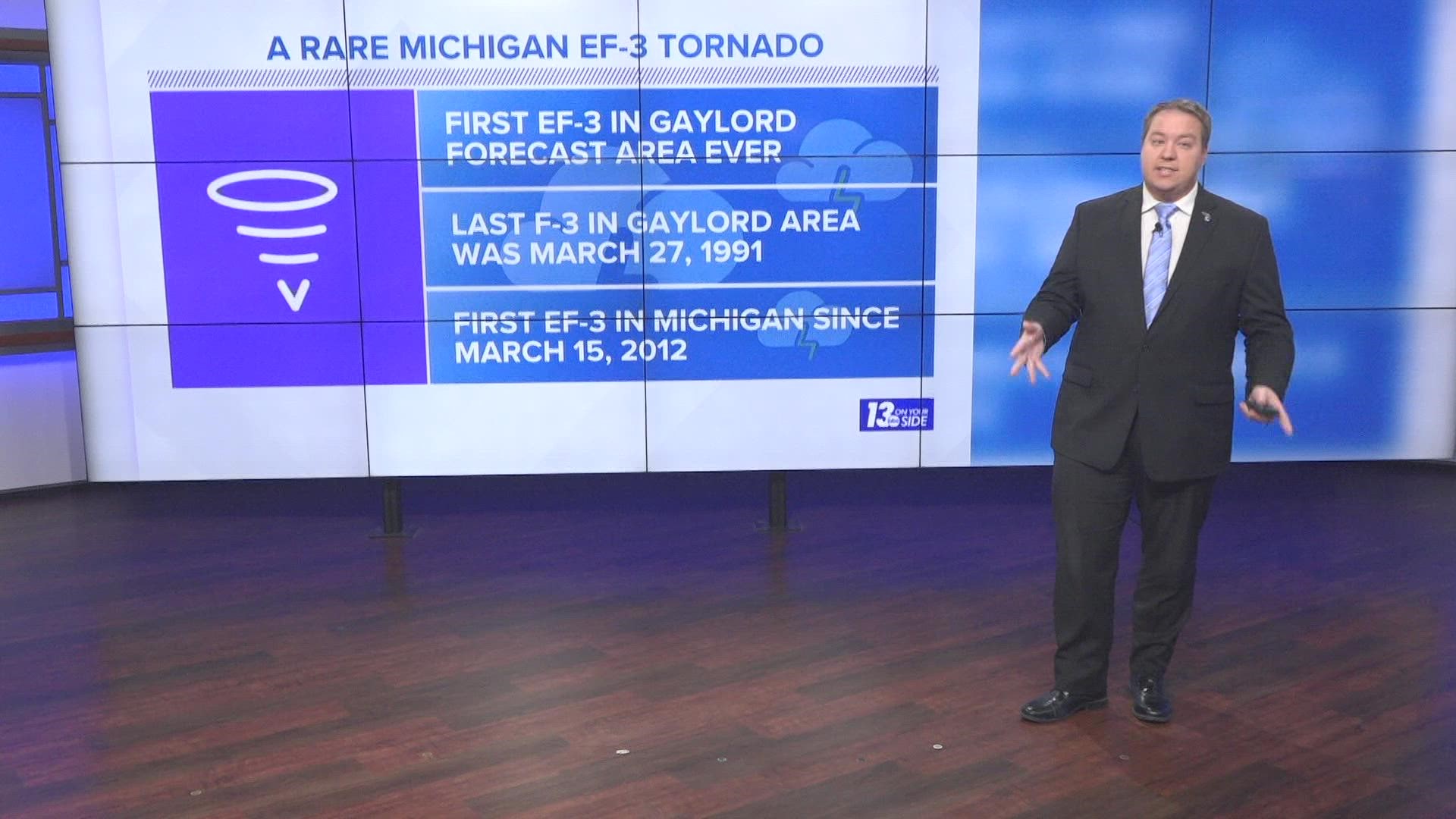
According to data from the NCEI Storm Events Database Michigan has not seen an EF-3 or stronger tornado since March 15, 2012 in Washtenaw County. The Gaylord forecast office has never seen an EF-3 or stronger tornado since the EF (Enhanced Fujita) scale was introduced back in 2007 and the last F-3 was back on March 27, 1991.
In fact, the city of Gaylord has never been hit by a tornado since records started in 1950 and the Gaylord NWS Office forecast area has only seen 16 F-3+ tornadoes through that same time period.

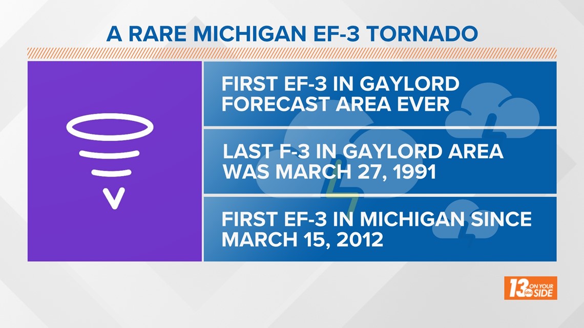
Looking back at recent history, the entire state of Michigan seems to go around 5 to 10 years between F-3/EF-3 or stronger tornado events. Prior to Friday, the last event was in 2012 as mentioned above, before that an EF-3 tornado happened in 2007, and before that, an F-3 tornado hit in 1997.
So, what makes these violent storms less common here than in other parts of the country? The same thing that makes Michigan unique for other reasons as well — our large lakes that surround the state.
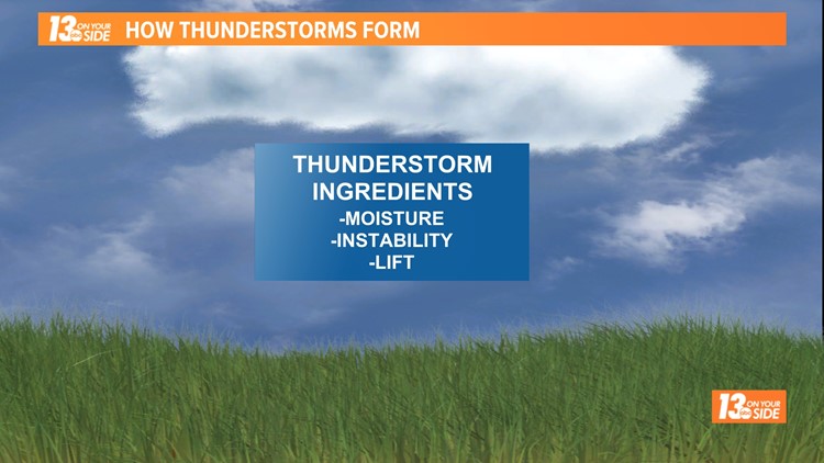
Tornadoes typically form with strong severe thunderstorms, and to get those we need a few ingredients: key to that being moisture, lift and instability.
Moisture is pretty obvious, but lift and instability may not be.
Lift is caused either by surface heating (think pop-up storms) or by some kind of front, pressure system, or boundary pushing through the region.
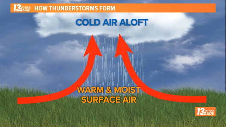
Instability is when the air that is forced up by a lifting mechanism is warmer than the air around it. So long as the lifted air remains in this state, it will keep on rising, forming a strong updraft and the tall clouds associated with most severe thunderstorms.
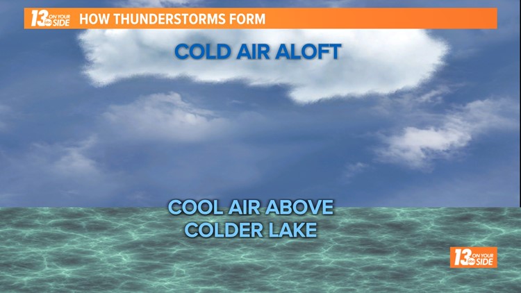
Lake Michigan helps to weaken and sometimes stop thunderstorm formation by acting as a large pool of cool air, especially during spring and early summer when the lake waters are cold. This cool air can't take away the lift from a weather system pushing through, but since it means the lifted air is cooler and closer in temperature to the air aloft, it can take away the instability.
With the instability factor gone or reduced, it becomes much harder to create the types of severe storms needed for tornadoes to easily form.
Thunderstorm Formation + Lake Michigan
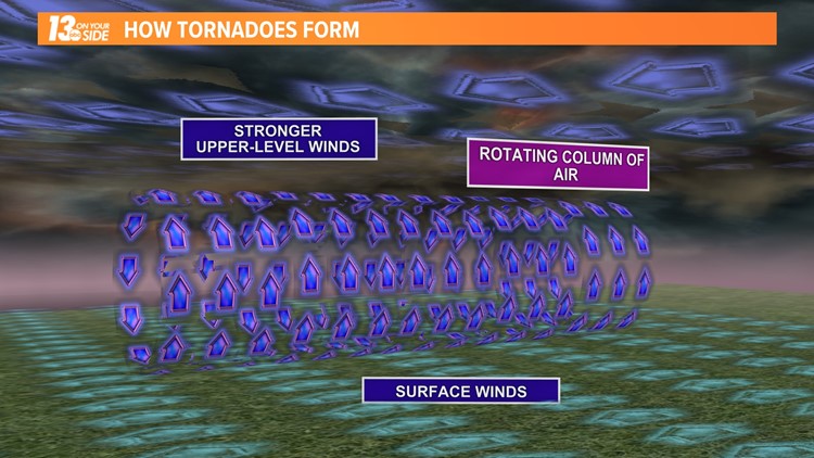
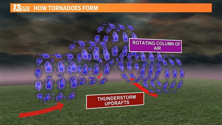
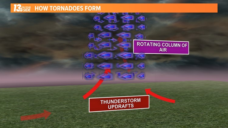
The strong updrafts mentioned above as a thunderstorm forms are one key ingredient to tornado formation as well. The other being winds that change direction with height.
As these winds change direction, they create something called wind shear. This difference in wind direction can create a rotating column of air that is then elongated and rotated vertically by the thunderstorm updraft.
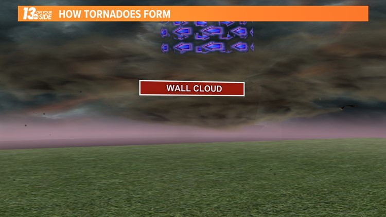
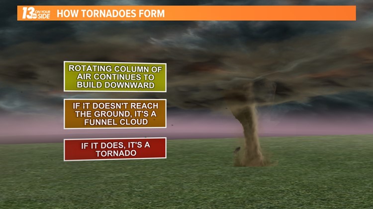
At this point you can see something called a wall cloud form. From this cloud a funnel cloud can be produced. If that funnel cloud reaches ground level, you have a tornado.
How A Tornado Forms
As Friday reminded us, while strong tornadoes are rare here in Michigan, they can very much happen and cause extensive damage when they do. With that in mind, make sure you pay close attention to the forecast and stay weather aware whenever severe thunderstorms are called for.
One good way you can do this is by following the 13 On Your Side Weather Team. We will keep you informed and up to date on-air, online, on social media, and via the 13 On Your Side News and Weather Apps!
Stay weather aware, West Michigan!
-- Meteorologist Michael Behrens
Follow me on social media! Facebook Meteorologist Michael Behrens, Twitter @MikeBehrensWX, and Instagram @MikeBehrensWX.
Email me at: MBehrens@13OnYourSide.com
Have a 30-second video or still photo to share? We'd love to share it with everyone! Email your image to Weather@13OnYourSide.com or post it to our 13OnYourSide Facebook Page.
►Make it easy to keep up to date with more stories like this. Download the 13 ON YOUR SIDE app now.
Have a news tip? Email news@13onyourside.com, visit our Facebook page or Twitter. Subscribe to our YouTube channel.

