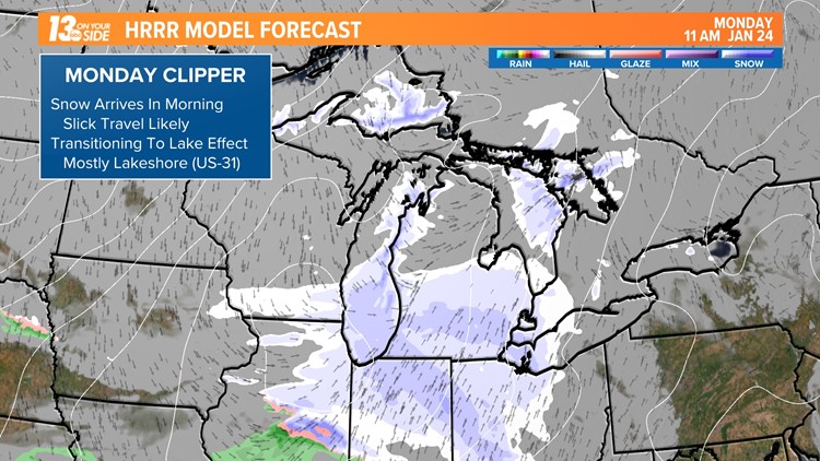
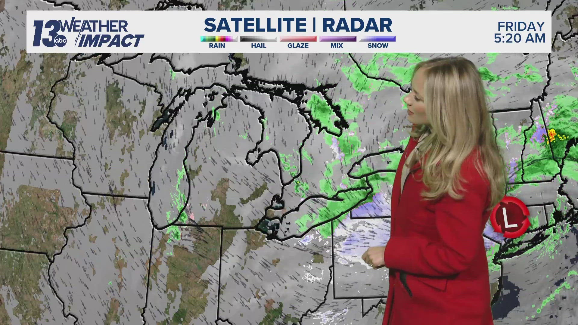
MICHIGAN, USA — The parade of clippers continues - a third clipper system in as many days is currently passing through West Michigan. Bringing more accumulating snowfall, it began early this morning and will wrap up for most by the evening commute.
On top of the snow already received, an additional 1 or 2 inches should be expected between now and the evening commute. It isn't a major winter storm, but there is enough snow to create slick travel and warrant extra time on the roadways. Like this previous weekend, take your time as there will be ice and snow.

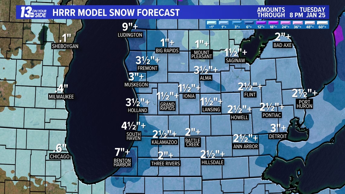
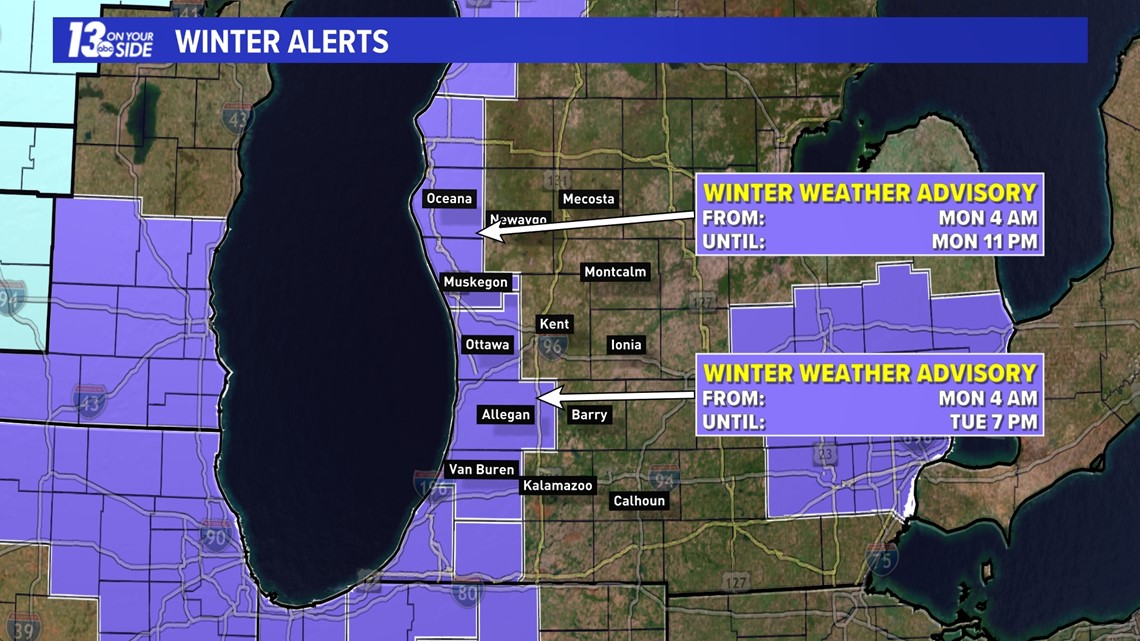
Additional lake effect snow will follow the system snow, primarily impacting the lakeshore communities. Expectations are for another 3+ inches for those near US-31 by 5 pm Tuesday afternoon. Currently, the highest snowfall totals look to be Muskegon through Ludington, but will be highly dependent on the setup of lake-effect snow bands. The additional lake effect snow is the reasoning behind the Winter Weather Advisory for lakeshore communities.

In addition to snowfall, temperatures are about to tumble as another lobe of Arctic air settles over the Great Lakes. The middle half of this week, Tuesday and Wednesday, will be spent in the teens with overnight lows in the single digits. Wind chill values will hover on either side of 0° as well. Wednesday will be the coldest of the week before we climb back to near-average late January temperatures (upper 20s to near 30°F).

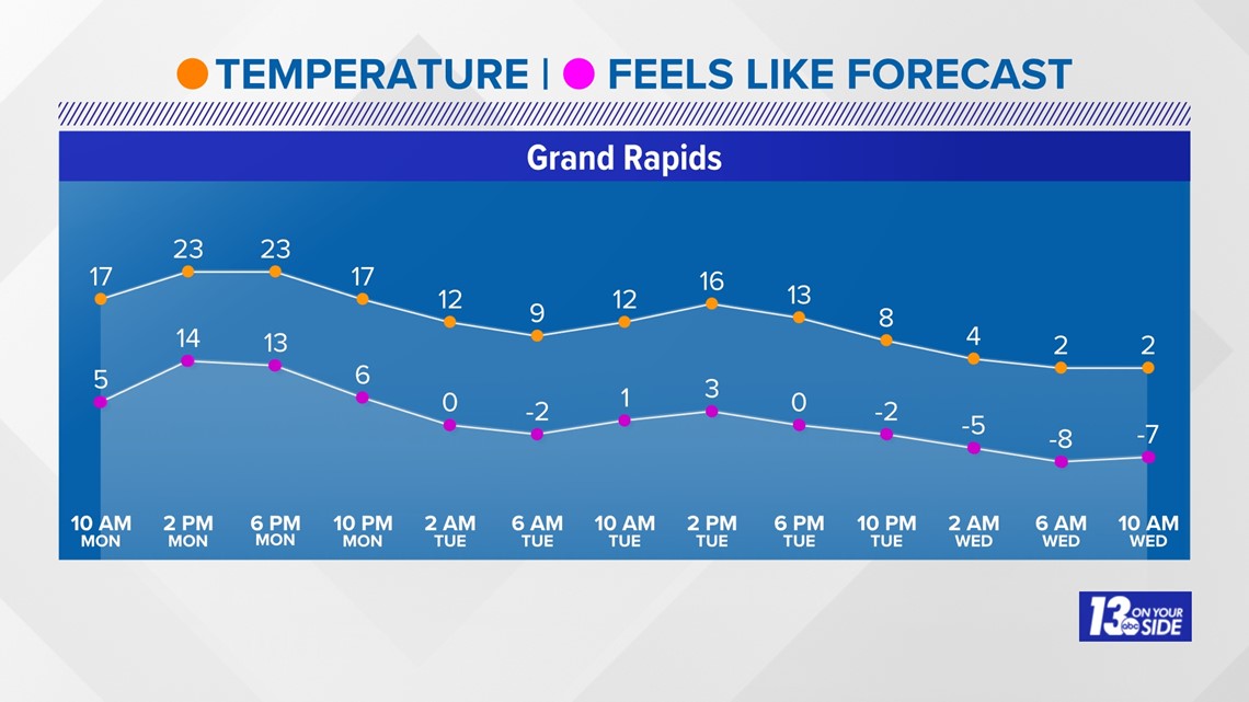

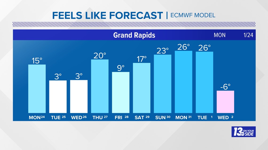
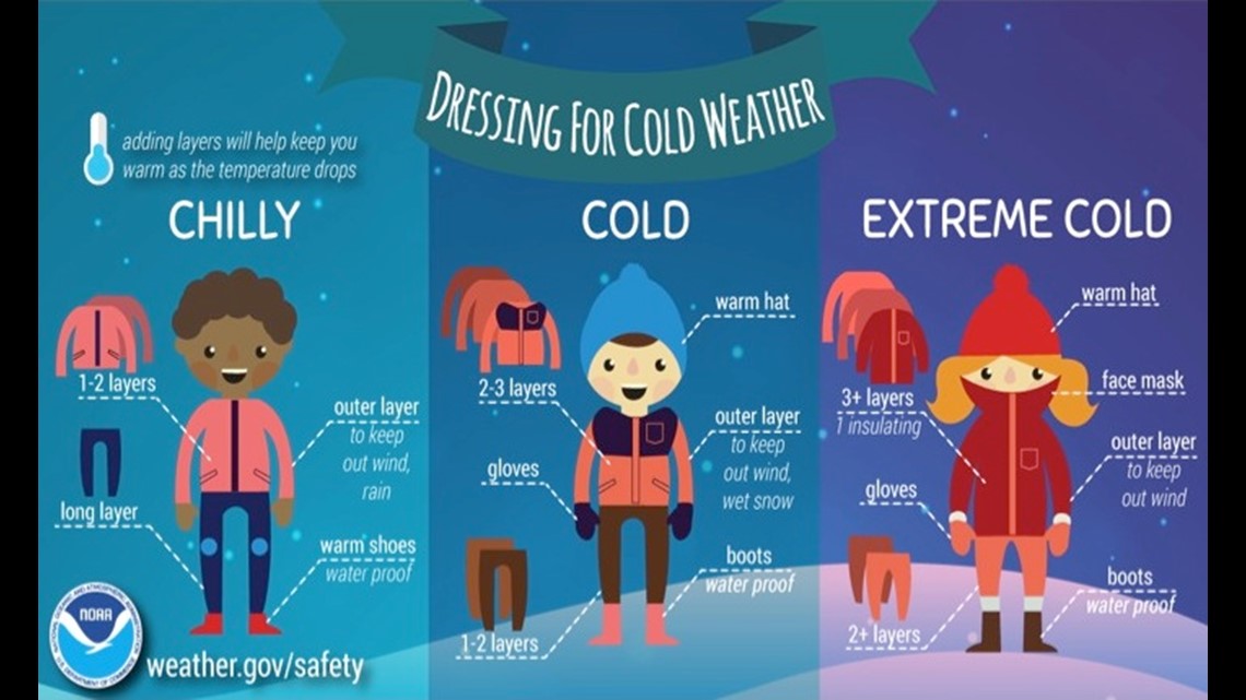
Be sure to limit time outdoors as the cold air settles overhead. If you must be outside make sure you are dressing accordingly. Wear extra layers, cover exposed skin, and also have a hat, gloves, and a scarf available to you.

►Make it easy to keep up to date with more stories like this. Download the 13 ON YOUR SIDE app now.
Have a news tip? Email news@13onyourside.com, visit our Facebook page or Twitter. Subscribe to our YouTube channel.


