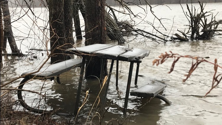
GRAND RAPIDS, Mich. — Heavy rain has now moved east of our area and we're focusing on the wintry side of this potent storm system.
As colder air creeps in from the north, the upper levels of the atmosphere will cool sufficiently for most of the precipitation to transition from sleet over to snow.
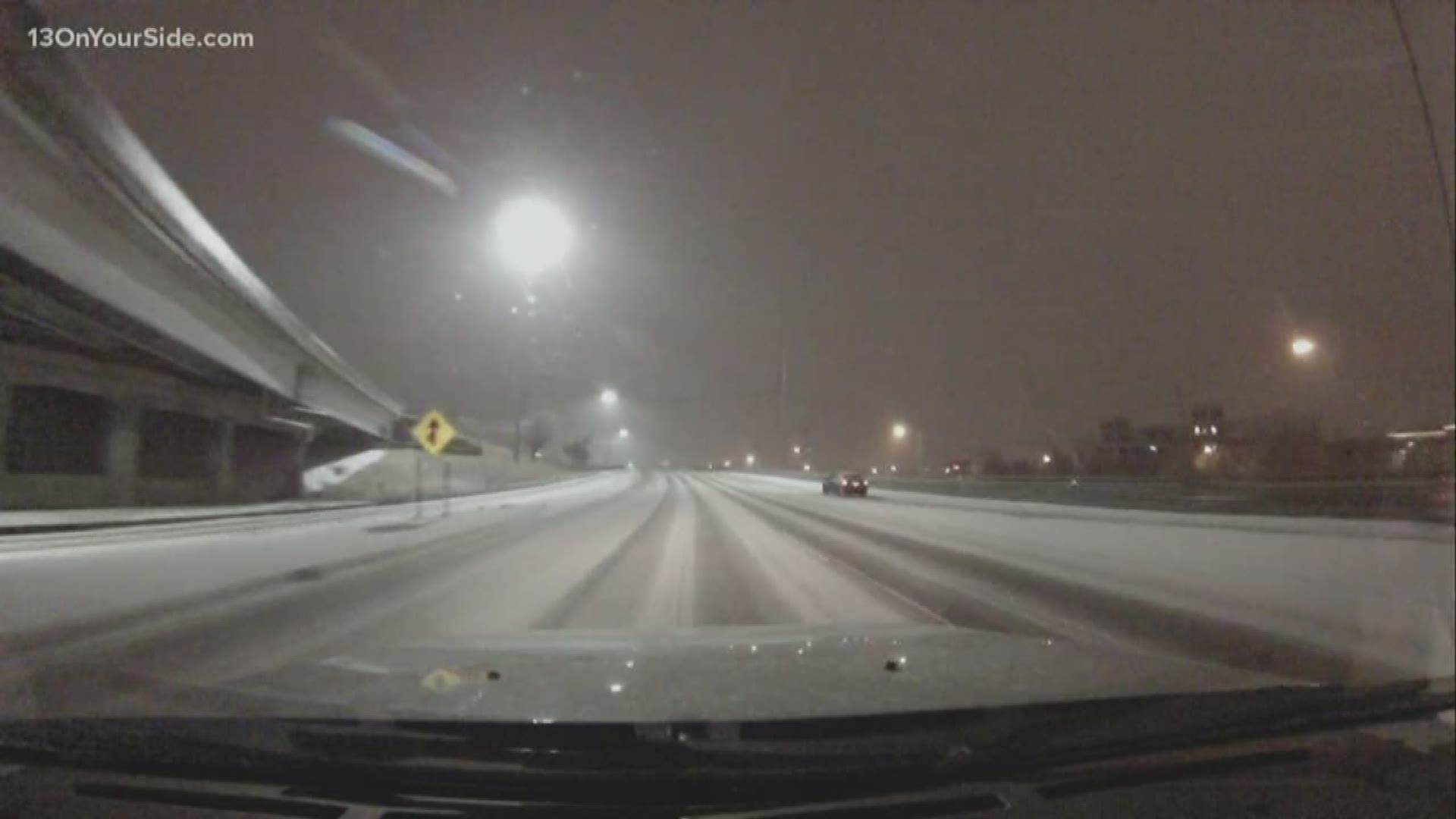
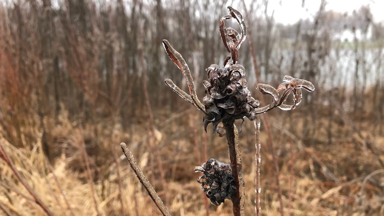
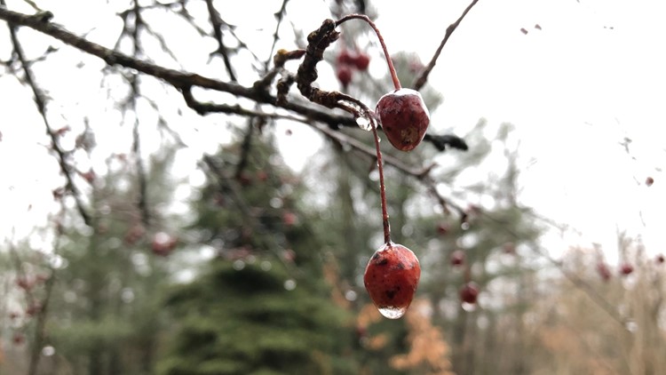
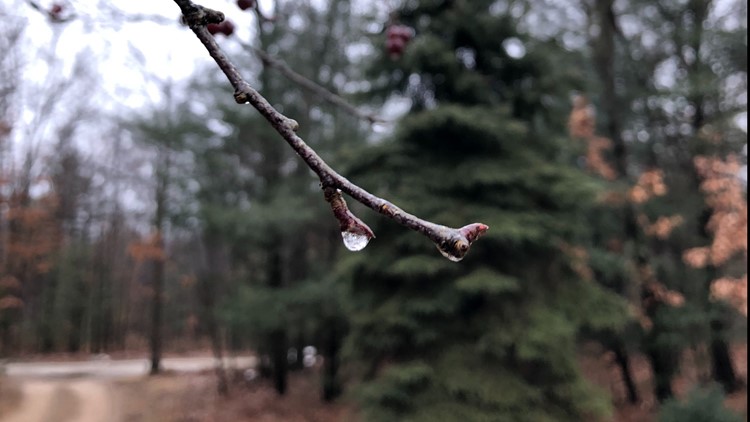
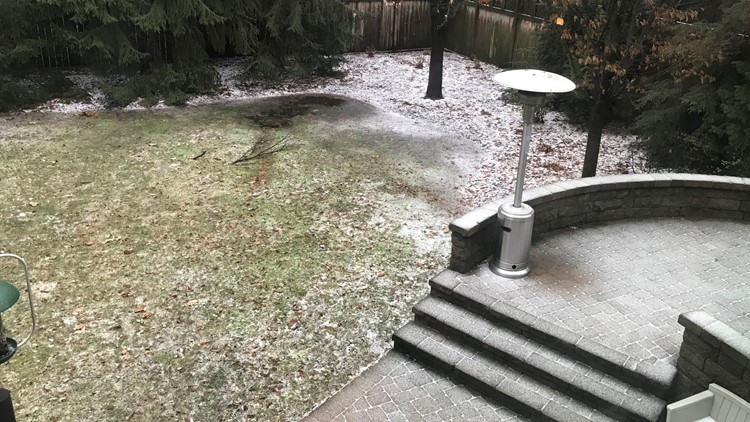
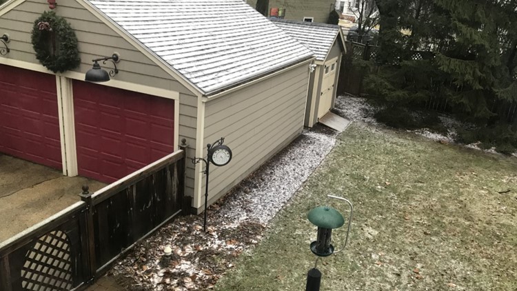
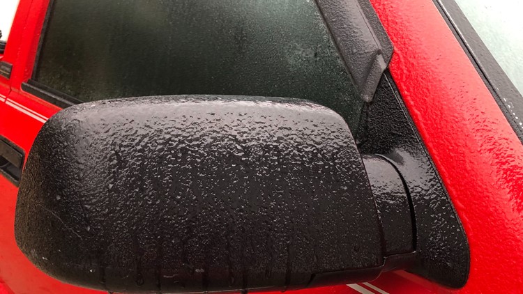
Any surface that remains untreated with salt will be very slippery. Parts of our area received a light glaze of ice from patchy freezing rain.
Thankfully, the threat for major ice accretion has shifted east of our area. There is still the potential for additional freezing rain in a strip extending from the Lansing area east toward Port Huron.

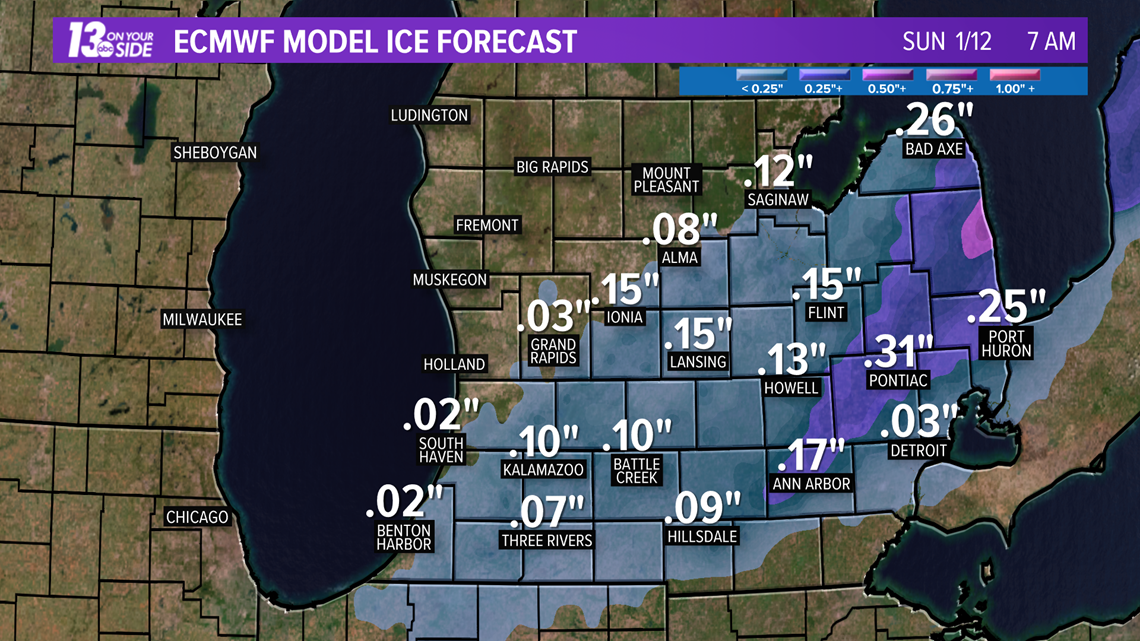
Travel will continue to be hazardous and not recommended for the rest of Saturday night with several inches of snow in the forecast for much of West Michigan.
The Kent County Road Commission said they spend Saturday scraping ice off the roads where needed and placing a sand/salt mix when rain turned to freezing rain. They said motorists should expect slippery conditions that will worsen as the evening progresses.
"Motorists are asked to reduce speeds, leave additional stopping distance when approaching intersections and add space between vehicles," a news release from the road commission said.
Precipitation Timing
Saturday Evening: Sub-freezing temperatures at the surface have already reached the I-96 corridor and will continue to travel southward. At the same time, a second wave of moisture is tracking northeast toward our area. A short window of sleet and additional freezing rain will be possible for areas mainly south of I-96 and east of US-131 until around 9 p.m.

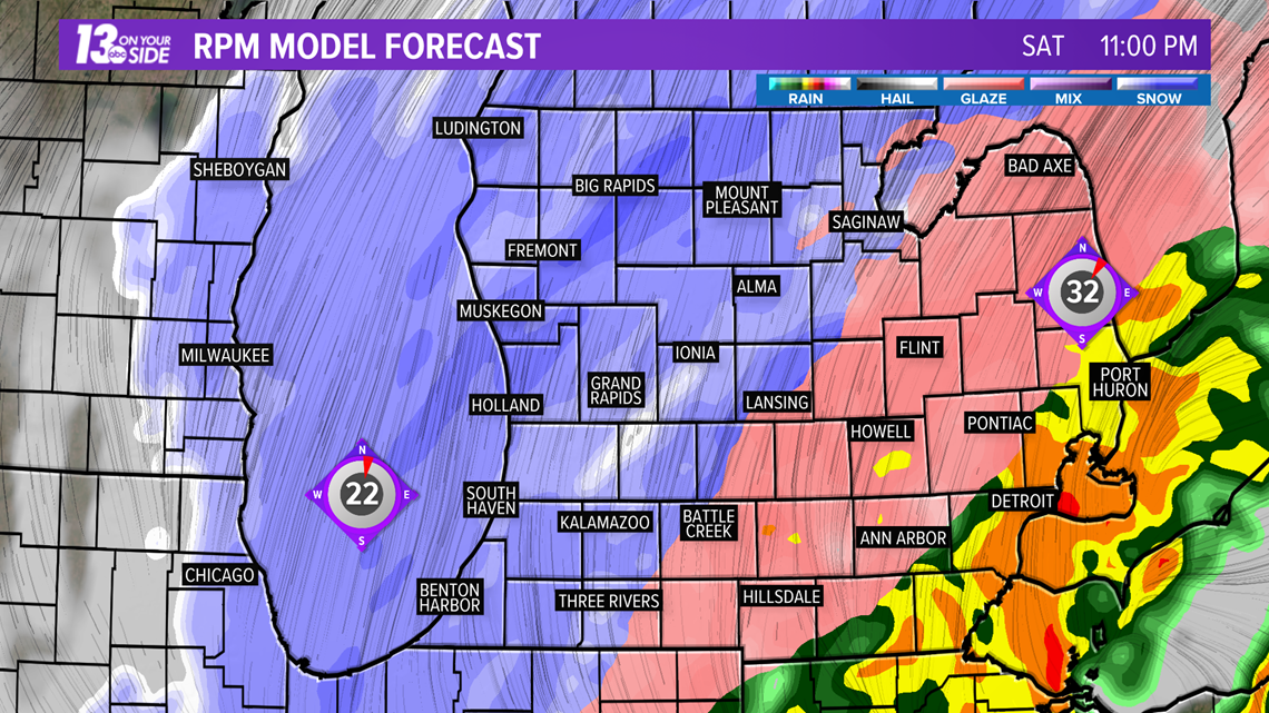
Saturday Night: Moderate to heavy snow will spread across nearly all of West Michigan for a period of several hours Saturday night. Snowfall rates may be close to 1-2" per hour in pockets. Winds will remain breezy out of the northeast gusting close to 30 mph at times. Due to blowing snow, visibility may be under one mile.

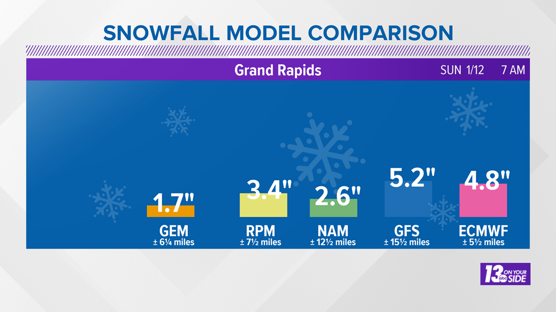
Sunday Morning: All precipitation is expected to end before sunrise on Sunday. Clouds will gradually break up and sunshine will likely appear by lunchtime.
How can you prepare for weekend of winter weather?
Michigan State Police encourages people to stay indoors if possible during severe weather, and if you go outside make sure to bundle up and watch for signs of frostbite or hypothermia. They also tell people to minimize traveling. Don't forget, if a stop light is out, Michigan law tells drivers to treat it as a 4-way stop.
Gov. Gretchen Whitmer tweeted out some safety tips for Michiganders Saturday morning. She said, stay indoors, charge your phones and stock up on candles and flashlights in case of a power outage.
“Keeping Michiganders safe during severe weather is one of my top priorities,” Whitmer. “My office, along with state departments, will be closely monitoring weather conditions as they develop and proactively coordinating with emergency managers to support local response efforts as appropriate. We are also encouraging Michiganders to be safe and take precautions during these extreme weather conditions that are being predicted this weekend.”
Make sure you have emergency supplies in place for your home and car:
- In your car: Make sure you have jumper cables, ice scrapers and blankets. Along with some snacks and extra water.
- At home: Make sure you have enough food, water and medication to last you for at least 72 hours.
“Both flooding and freezing rain have the ability to be life-threatening,” said Capt. Emmitt McGowan, deputy state director of Homeland Security and commander of the MSP/EMHSD. “Michigan residents should take steps to prepare now. Keeping supplies like a flashlight, a portable radio and a working cell phone with a backup power source on-hand can help keep you and your family safe during an emergency.”
When preparing for outages, make sure to have coolers available to keep your refrigerated foods cold. Charge your electronic devices.
In order to prepare for a flood, Michigan State Police advises created an emergency kit with three gallons of water per person and extra for pets. Put important documents in a waterproof container and on the top floor of your house. Also, make sure to take photos of the interior and exterior of your home.
If you have a generator make sure it's at least 20 feet away from your home so you don't have to worry about carbon monoxide poisoning.
And finally, try and have what you need at home so you can stay off the roads when the storm does hit your area.
January storm in West Michigan
More stories on 13 ON YOUR SIDE:
►Make it easy to keep up to date with more stories like this. Download the 13 ON YOUR SIDE app now.
Have a news tip? Email news@13onyourside.com, visit our Facebook page or Twitter. Subscribe to our YouTube channel.

