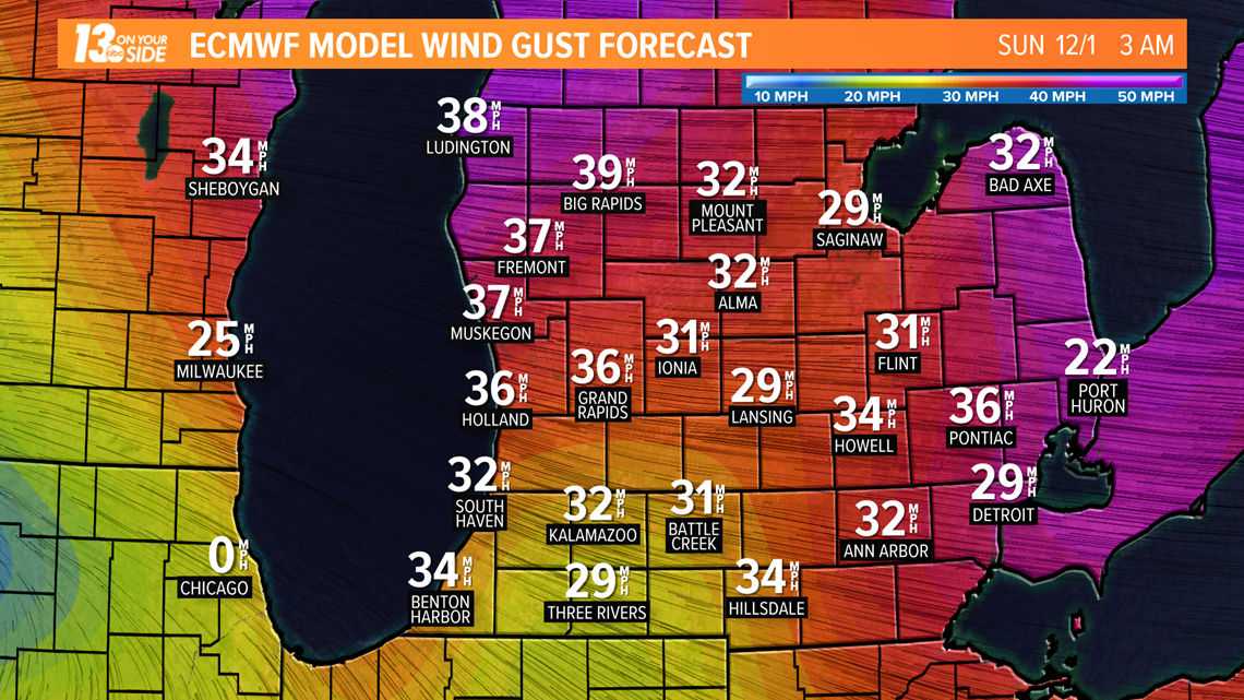
GRAND RAPIDS, Mich. — A less-powerful storm is poised to impact West Michigan starting Saturday morning. It has the potential to produce a little bit of everything, including strong easterly winds.
Powerful easterly winds will accompany the system. Wind gusts could exceed 30 mph at times by Saturday afternoon. Because of the offshore winds, coastal flooding and beach erosion won't be issues with this event on our side of Lake Michigan.


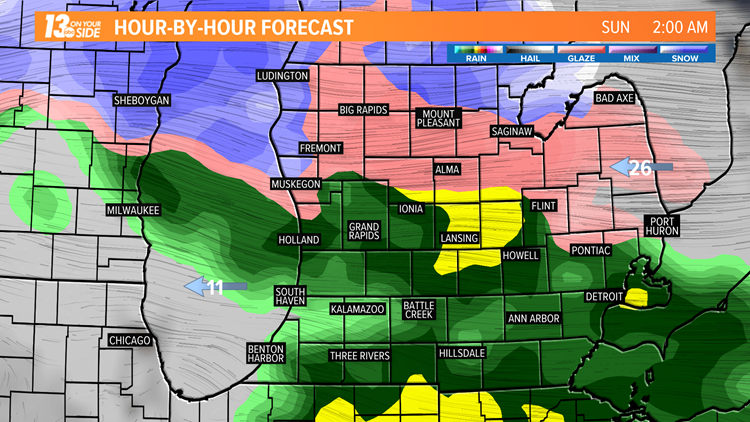
Precipitation will begin Saturday morning. It should be mostly light snow to the north. Areas along and south of I-96 should see mainly light rain.


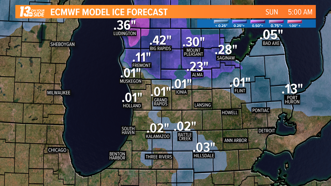
Another concern with this storm is the threat for ice. Starting Saturday night, there is the potential for several hours of freezing rain. Communities north of I-96 have the greatest potential for this ice. Travel north of Kent County could become more difficult by early Sunday as a result.


The heaviest precipitation and the greatest impacts from this storm will be felt to the north overnight Saturday and early Sunday.
The storm pulls away on Sunday. However, scattered, light precipitation will continues throughout the day.
Temperatures will tumble behind a cold front. Highs by Monday and Tuesday of next week will only be in the mid-30s, several degrees cooler than average.
MORE on 13 ON YOUR SIDE:
RELATED VIDEO:
►Make it easy to keep up to date with more stories like this. Download the 13 ON YOUR SIDE app now.
Have a news tip? Email news@13onyourside.com, visit our Facebook page or Twitter. Subscribe to our YouTube channel.


