GRAND RAPIDS, Mich. — Let's start with the good news. Over the coming warming period, ice melt is expected to be gradual and the potential for ice jams and associated flooding will be low.
Check out the reporting by Meteorologist Samantha Jacques for more on the near term forecast.
However, conditions on rivers can change fast, and ice jams can appear in just hours given the right conditions.
So what are those conditions? Let's take a look!
How Ice Jams Form:
Well, technically, any kind of thawing could lead to an ice break up, but the type of break up most likely to cause an ice jam would be spurred on by a rapid rise in temperatures, allowing the ice to break up quickly over a short period of time. A prolonged and slow break up of ice is unlikely to cause an ice jam.
If you add heavy rainfall on top of a rapid warm up in temperature, then conditions become even more likely for ice to break up and start flowing down the river.
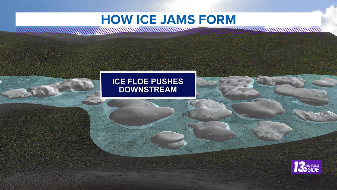
The stream of ice heading down the river is called an ice floe. If an ice floe is of sufficient size and power it has the potential to damage bridges, docks, and other river infrastructure as it moves downstream.


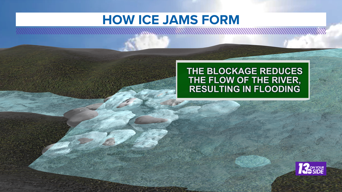
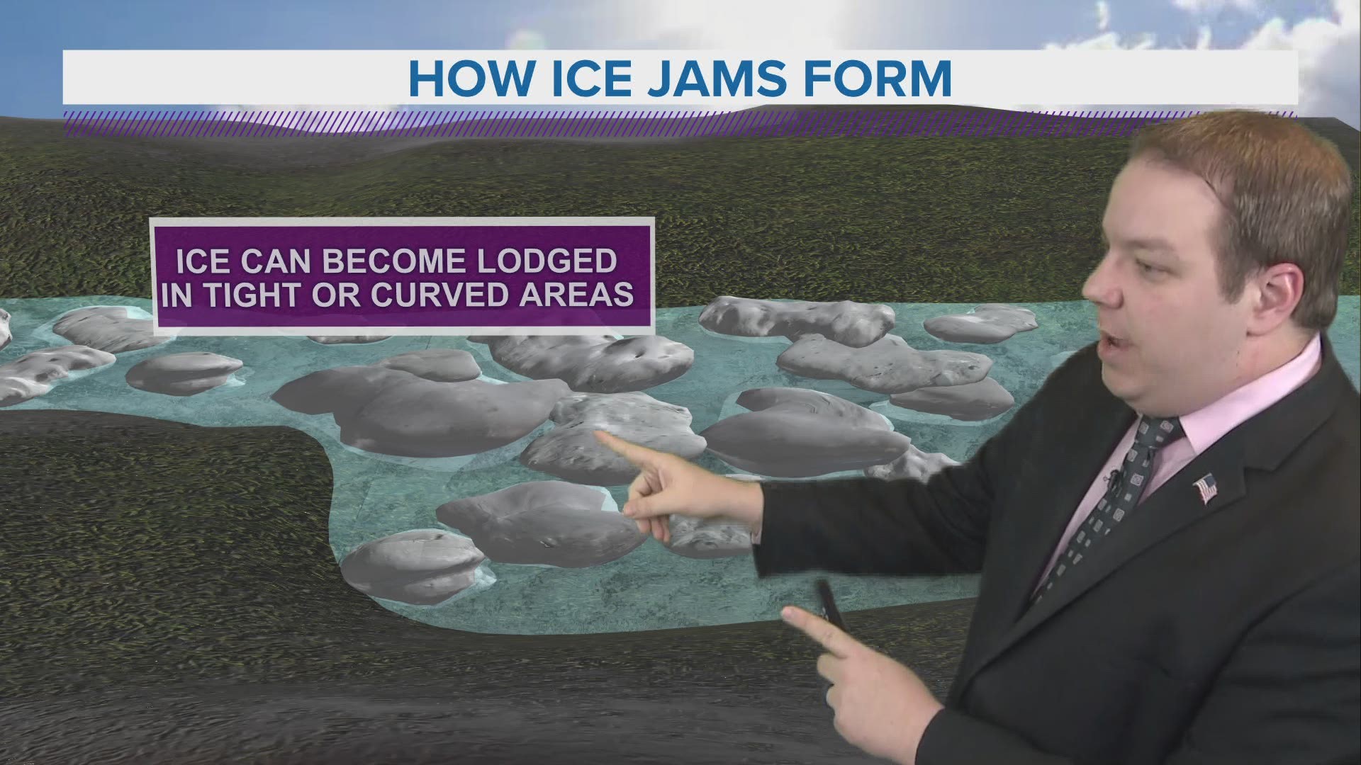
If the ice floe gets lodged up by a bridge, bend in the river, or other area where the flow of the river can be blocked, an ice jam will begin to form.
This jam causes rushing water upstream from the blockage to back up and flood over the banks of the river. Flooding will persist until the jam is cleared and normal flow can resume.


Those downstream are not safe from flooding either.
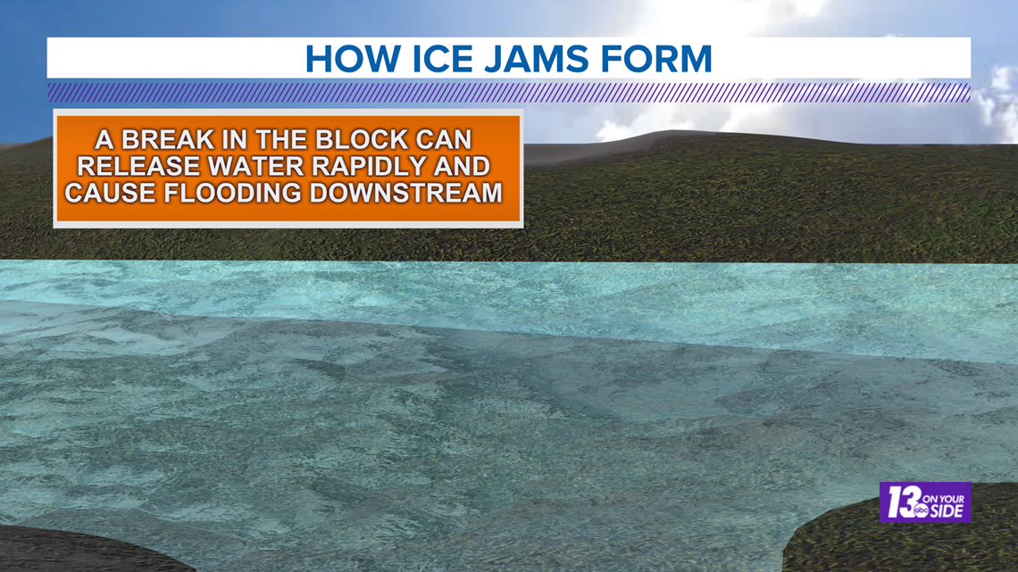
If the ice jam gives way rapidly or all at once, then a surge of water will make its way downstream. This flooding will likely be more limited in both coverage and duration, but can be quite intense with regard to force of water pushing through.


The example detailed above is what is called a "break up" ice jam. Simply explained as an ice jam caused by the break up of river ice. These will occur during and just before spring.
The other type of ice jam is called a "freeze up" ice jam. These are ice jams caused by the freezing of the river and will happen heading into winter.
Thankfully, our current risk for ice jams is low, but as we continue into the warmer months ahead you can trust the 13 On Your Side Weather Team to monitor the rivers and keep you updated on the latest!
As always, use caution on or near the ice, especially as things start to warm up. If the ice is cracking or becoming thin, avoid the area. If you see an ice jam forming, make sure to report it to 13 On Your Side and The National Weather Service.
Stay safe West Michigan!
-- Meteorologist Michael Behrens
Follow me on social media! Facebook Meteorologist Michael Behrens, Twitter @MikeBehrensWX, and Instagram @MikeBehrensWX.
Email me at: MBehrens@13OnYourSide.com
Have a 30-second video or still photo to share? We'd love to share it with everyone! Email your image to Weather@13OnYourSide.com or post it to our 13OnYourSide Facebook Page.
►Make it easy to keep up to date with more stories like this. Download the 13 ON YOUR SIDE app now.
Have a news tip? Email news@13onyourside.com, visit our Facebook page or Twitter. Subscribe to our YouTube channel.

