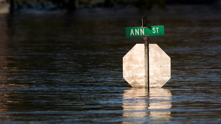
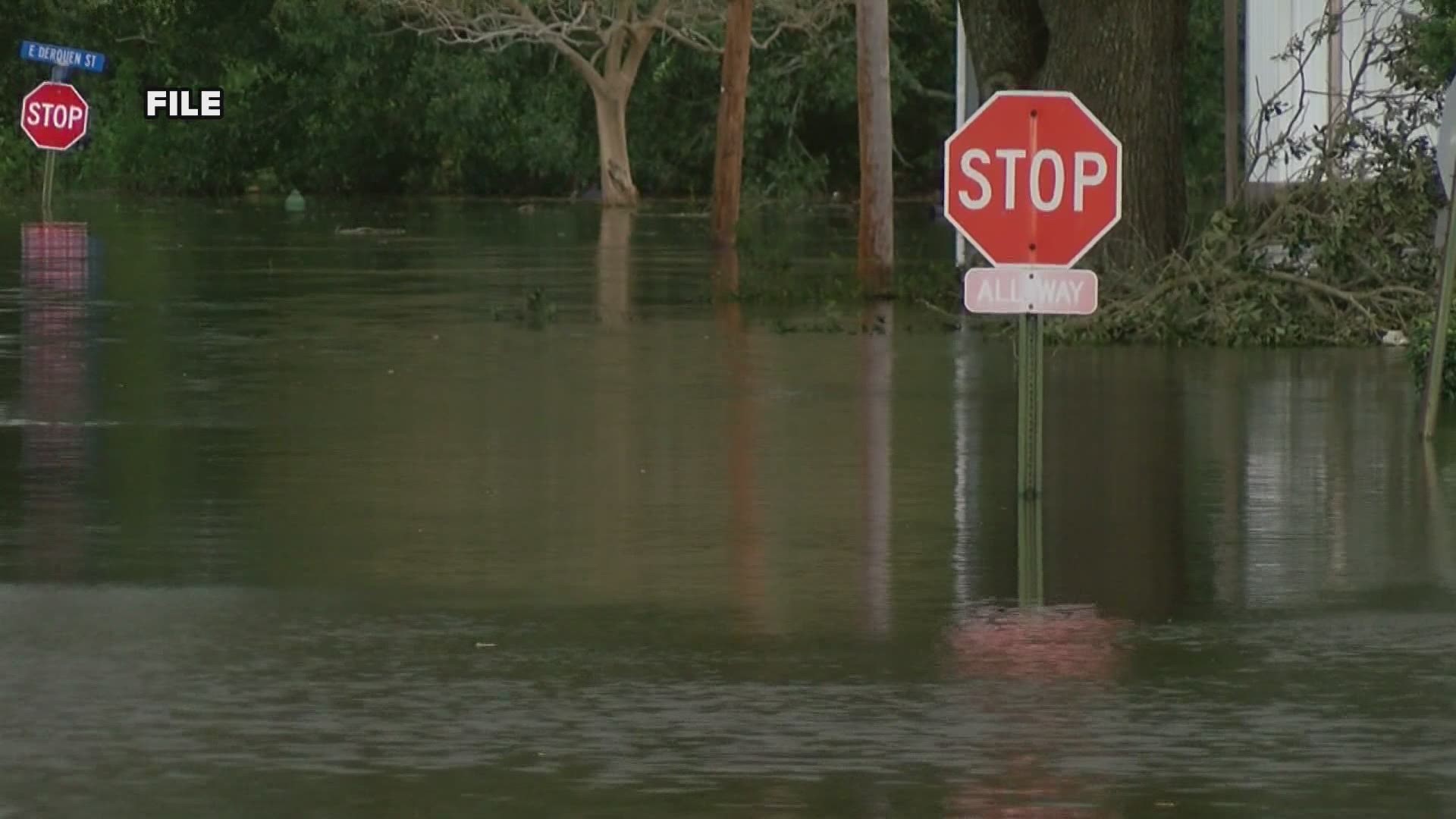
KENT COUNTY, Mich. — Multiple rounds of heavy showers and thunder storms are expected to sweep through West Michigan this weekend, and floods could come along with the wet weather.
Thursday, the Weather Prediction Center placed West Michigan under a level 2 threat for excessive rainfall, meaning there is a 10 to 20% risk of rainfall resulting in flash flooding.
In preparation for flooding situations, the Kent County Health Department has a flooding fact sheet for the general public.
According to the department, the first steps for flood preparation is to know what to expect and to plan ahead. This includes raising appliances like furnaces, water heaters and electric panels if they are in areas of the home that could be flooded. It’s also a good idea to get flood insurance.
Once you have properly prepared for a flood, it's important to know the difference between a flood watch and a flood warning.
- Flood Watch: A flood is possible in your area. Move your furniture and valuables to higher floor levels and fill your car up with gas in case an evacuation is necessary.
- Flood Warning: Flood is already occurring or will occur soon in your area. Listen to a local radio or TV station for flooding information. If you are told to evacuate, do so as quickly as possible. Move to higher ground away from rivers, streams, creeks and storm drains.
RELATED: Heavy rain coming to West Michigan
After a flash flood has occurred, it is important to avoid disaster areas and report destruction like downed power lines. When entering a building, shoes should be worn to prevent cuts.
Flood waters can weaken building foundations and cause sinking, cracks, and collapse. When entering buildings, the structural integrity of walls, floors, doors, staircases and windows should be checked.
According to the health department, all it takes is two feet of water to float a car and six inches of swiftly moving water to knock people off their feet.
Currently, flooding is mostly expected from smaller rivers and streams. According to Andrew Dixon, hydrologist for the National Weather Service in Grand Rapids, larger rivers like the Grand and Muskegon will not have as much of an impact because recent drought conditions have made their water levels very low.
As showers and storms continue throughout the weekend and into next week, the 13 ON YOUR SIDE Weather Team will have the most up-to-date information. You can follow along here.
RELATED VIDEO:
►Make it easy to keep up to date with more stories like this. Download the 13 ON YOUR SIDE app now.
Have a news tip? Email news@13onyourside.com, visit our Facebook page or Twitter. Subscribe to our YouTube channel.


